Species Report
White-rumped Sandpiper
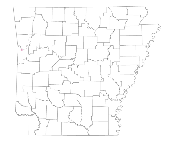
Total number of 2,500 hectare plots where this species is found: 1 ( 0.1% of plots )
| CATEGORY | Hectares, 1994 | % of Total, 1994 | Hectares, 1999 | % of Total, 1999 | Hectares, 2004 | % of Total, 2004 |
| Forest - Total (All Categories) | 575.9 | 20.66 | 837.6 | 33.48 | 520.1 | 20.79 |
| Ozark-Ouachita Pine-Oak Forest | 57.8 | 2.07 | 39.5 | 1.58 | 29.1 | 1.16 |
| Ozark-Ouachita Dry Oak Woodland and Forest | 0.0 | 0.00 | 0.0 | 0.00 | 0.0 | 0.00 |
| Central Interior Highlands Glade and Barrens | 0.0 | 0.00 | 0.0 | 0.00 | 0.0 | 0.00 |
| Mesic Hardwood Forest | 0.0 | 0.00 | 0.0 | 0.00 | 0.0 | 0.00 |
| Dry-Mesic Oak Forest | 171.6 | 6.16 | 126.1 | 5.04 | 84.2 | 3.37 |
| West Gulf Coastal Plain Pine-Hardwood Forest | 0.0 | 0.00 | 0.0 | 0.00 | 0.0 | 0.00 |
| West Gulf Coastal Plain Small Stream Forest | 0.0 | 0.00 | 0.0 | 0.00 | 0.0 | 0.00 |
| Lower Mississippi River Low Bottomland Forest | 0.0 | 0.00 | 0.0 | 0.00 | 0.0 | 0.00 |
| Lower Mississippi River High Bottomland Forest | 311.9 | 11.19 | 231.1 | 9.24 | 150.8 | 6.03 |
| Lower Mississippi River Bottomland Depression | 0.0 | 0.00 | 0.0 | 0.00 | 0.0 | 0.00 |
| Lower Mississippi River Riparian Forest | 0.0 | 0.00 | 0.0 | 0.00 | 0.0 | 0.00 |
| Sweetgum | 34.7 | 1.24 | 26.2 | 1.05 | 27.5 | 1.10 |
| Forest - Unknown Category | 0.0 | 0.00 | 414.7 | 16.58 | 228.5 | 9.13 |
| Cropland | 285.8 | 10.25 | 5.6 | 0.22 | 2.7 | 0.11 |
| Pastureland | 1154.8 | 41.42 | 601.6 | 24.05 | 334.8 | 13.38 |
| Herbaceous | 0.0 | 0.00 | 19.2 | 0.77 | 65.1 | 2.60 |
| Bare/Barren | 0.0 | 0.00 | 1.5 | 0.06 | 0.0 | 0.00 |
| Urban | 391.7 | 14.05 | 751.4 | 30.04 | 1335.0 | 53.36 |
| Water | 379.7 | 13.62 | 284.9 | 11.39 | 244.0 | 9.75 |
| Unknown (No Data) | 0.0 | 0.00 | 0.0 | 0.00 | 0.0 | 0.00 |