Species Report
Western Kingbird
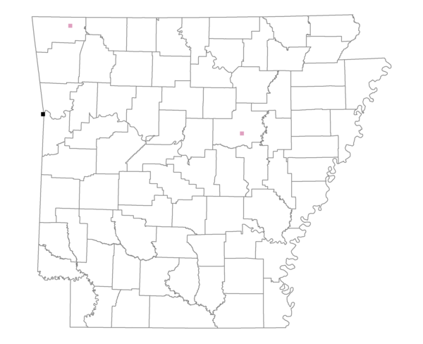
Total number of 2,500 hectare plots where this species is found: 3 ( 0.3% of plots )
| CATEGORY | Hectares, 1994 | % of Total, 1994 | Hectares, 1999 | % of Total, 1999 | Hectares, 2004 | % of Total, 2004 |
| Forest - Total (All Categories) | 2150.8 | 25.86 | 2577.0 | 34.40 | 2520.0 | 33.64 |
| Ozark-Ouachita Pine-Oak Forest | 32.2 | 0.39 | 26.6 | 0.35 | 20.7 | 0.28 |
| Ozark-Ouachita Dry Oak Woodland and Forest | 669.8 | 8.05 | 525.4 | 7.01 | 482.2 | 6.44 |
| Central Interior Highlands Glade and Barrens | 48.3 | 0.58 | 42.6 | 0.57 | 38.7 | 0.52 |
| Mesic Hardwood Forest | 0.0 | 0.00 | 0.0 | 0.00 | 0.0 | 0.00 |
| Dry-Mesic Oak Forest | 610.7 | 7.34 | 501.2 | 6.69 | 471.6 | 6.30 |
| West Gulf Coastal Plain Pine-Hardwood Forest | 0.0 | 0.00 | 0.0 | 0.00 | 0.0 | 0.00 |
| West Gulf Coastal Plain Small Stream Forest | 0.0 | 0.00 | 0.0 | 0.00 | 0.0 | 0.00 |
| Lower Mississippi River Low Bottomland Forest | 22.8 | 0.27 | 15.5 | 0.21 | 15.9 | 0.21 |
| Lower Mississippi River High Bottomland Forest | 712.3 | 8.56 | 584.3 | 7.80 | 566.4 | 7.56 |
| Lower Mississippi River Bottomland Depression | 0.0 | 0.00 | 0.0 | 0.00 | 0.0 | 0.00 |
| Lower Mississippi River Riparian Forest | 4.0 | 0.05 | 0.1 | 0.00 | 0.0 | 0.00 |
| Sweetgum | 50.8 | 0.61 | 39.8 | 0.53 | 36.9 | 0.49 |
| Forest - Unknown Category | 0.0 | 0.00 | 841.7 | 11.24 | 887.6 | 11.85 |
| Cropland | 2048.0 | 24.63 | 1049.3 | 14.01 | 846.4 | 11.30 |
| Pastureland | 1495.5 | 17.98 | 1468.8 | 19.61 | 1155.0 | 15.42 |
| Herbaceous | 48.0 | 0.58 | 27.2 | 0.36 | 34.9 | 0.47 |
| Bare/Barren | 0.0 | 0.00 | 4.1 | 0.06 | 65.5 | 0.88 |
| Urban | 286.6 | 3.45 | 382.6 | 5.11 | 905.9 | 12.09 |
| Water | 409.1 | 4.92 | 300.2 | 4.01 | 276.7 | 3.69 |
| Unknown (No Data) | 1878.2 | 22.59 | 1681.8 | 22.45 | 1686.5 | 22.51 |