Species Report
Virginia Rail
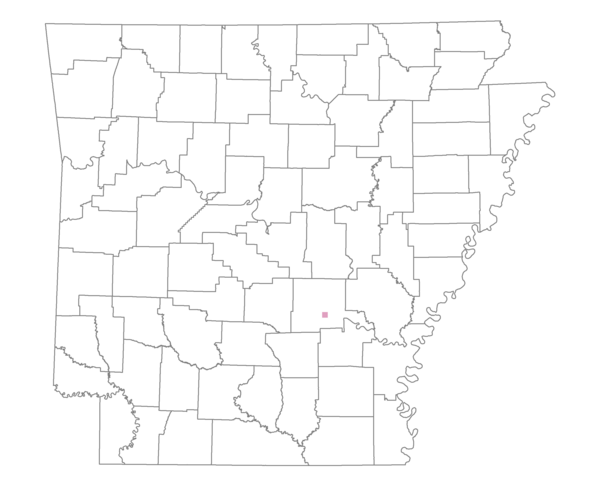
Total number of 2,500 hectare plots where this species is found: 1 ( 0.1% of plots )
| CATEGORY | Hectares, 1994 | % of Total, 1994 | Hectares, 1999 | % of Total, 1999 | Hectares, 2004 | % of Total, 2004 |
| Forest - Total (All Categories) | 364.1 | 13.06 | 431.0 | 17.13 | 391.6 | 15.56 |
| Ozark-Ouachita Pine-Oak Forest | 0.0 | 0.00 | 0.0 | 0.00 | 0.0 | 0.00 |
| Ozark-Ouachita Dry Oak Woodland and Forest | 0.0 | 0.00 | 0.0 | 0.00 | 0.0 | 0.00 |
| Central Interior Highlands Glade and Barrens | 0.0 | 0.00 | 0.0 | 0.00 | 0.0 | 0.00 |
| Mesic Hardwood Forest | 0.0 | 0.00 | 0.0 | 0.00 | 0.0 | 0.00 |
| Dry-Mesic Oak Forest | 0.0 | 0.00 | 0.0 | 0.00 | 0.0 | 0.00 |
| West Gulf Coastal Plain Pine-Hardwood Forest | 0.0 | 0.00 | 0.0 | 0.00 | 0.0 | 0.00 |
| West Gulf Coastal Plain Small Stream Forest | 0.0 | 0.00 | 0.0 | 0.00 | 0.0 | 0.00 |
| Lower Mississippi River Low Bottomland Forest | 94.2 | 3.38 | 75.9 | 3.02 | 57.6 | 2.29 |
| Lower Mississippi River High Bottomland Forest | 262.7 | 9.42 | 224.9 | 8.94 | 201.0 | 7.99 |
| Lower Mississippi River Bottomland Depression | 0.0 | 0.00 | 0.0 | 0.00 | 0.0 | 0.00 |
| Lower Mississippi River Riparian Forest | 0.0 | 0.00 | 0.0 | 0.00 | 0.0 | 0.00 |
| Sweetgum | 7.2 | 0.26 | 3.8 | 0.15 | 5.0 | 0.20 |
| Forest - Unknown Category | 0.0 | 0.00 | 126.4 | 5.02 | 128.0 | 5.09 |
| Cropland | 2345.5 | 84.13 | 1670.9 | 66.41 | 1481.5 | 58.88 |
| Pastureland | 0.0 | 0.00 | 323.0 | 12.84 | 379.6 | 15.09 |
| Herbaceous | 47.6 | 1.71 | 26.0 | 1.03 | 34.9 | 1.39 |
| Bare/Barren | 0.0 | 0.00 | 30.3 | 1.20 | 34.3 | 1.36 |
| Urban | 0.0 | 0.00 | 12.2 | 0.48 | 125.6 | 4.99 |
| Water | 30.6 | 1.10 | 22.7 | 0.90 | 68.6 | 2.72 |
| Unknown (No Data) | 0.0 | 0.00 | 0.0 | 0.00 | 0.0 | 0.00 |