Species Report
Veery
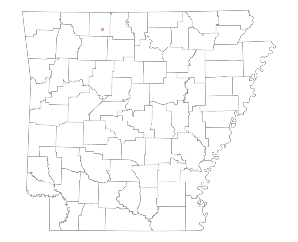
Total number of 2,500 hectare plots where this species is found: 1 ( 0.1% of plots )
| CATEGORY | Hectares, 1994 | % of Total, 1994 | Hectares, 1999 | % of Total, 1999 | Hectares, 2004 | % of Total, 2004 |
| Forest - Total (All Categories) | 1245.7 | 44.94 | 874.0 | 34.74 | 956.7 | 38.02 |
| Ozark-Ouachita Pine-Oak Forest | 84.1 | 3.03 | 71.6 | 2.85 | 69.5 | 2.76 |
| Ozark-Ouachita Dry Oak Woodland and Forest | 734.5 | 26.50 | 323.8 | 12.87 | 351.7 | 13.98 |
| Central Interior Highlands Glade and Barrens | 236.8 | 8.54 | 185.0 | 7.35 | 182.8 | 7.27 |
| Mesic Hardwood Forest | 0.0 | 0.00 | 0.0 | 0.00 | 0.0 | 0.00 |
| Dry-Mesic Oak Forest | 190.4 | 6.87 | 148.2 | 5.89 | 149.3 | 5.93 |
| West Gulf Coastal Plain Pine-Hardwood Forest | 0.0 | 0.00 | 0.0 | 0.00 | 0.0 | 0.00 |
| West Gulf Coastal Plain Small Stream Forest | 0.0 | 0.00 | 0.0 | 0.00 | 0.0 | 0.00 |
| Lower Mississippi River Low Bottomland Forest | 0.0 | 0.00 | 0.0 | 0.00 | 0.0 | 0.00 |
| Lower Mississippi River High Bottomland Forest | 0.0 | 0.00 | 0.0 | 0.00 | 0.0 | 0.00 |
| Lower Mississippi River Bottomland Depression | 0.0 | 0.00 | 0.0 | 0.00 | 0.0 | 0.00 |
| Lower Mississippi River Riparian Forest | 0.0 | 0.00 | 0.0 | 0.00 | 0.0 | 0.00 |
| Sweetgum | 0.0 | 0.00 | 0.0 | 0.00 | 0.0 | 0.00 |
| Forest - Unknown Category | 0.0 | 0.00 | 145.2 | 5.77 | 203.3 | 8.08 |
| Cropland | 0.0 | 0.00 | 0.0 | 0.00 | 0.0 | 0.00 |
| Pastureland | 1526.2 | 55.06 | 1634.6 | 64.97 | 1513.1 | 60.14 |
| Herbaceous | 0.0 | 0.00 | 0.0 | 0.00 | 0.0 | 0.00 |
| Bare/Barren | 0.0 | 0.00 | 0.0 | 0.00 | 0.0 | 0.00 |
| Urban | 0.0 | 0.00 | 7.5 | 0.30 | 46.2 | 1.84 |
| Water | 0.1 | 0.00 | 0.0 | 0.00 | 0.0 | 0.00 |
| Unknown (No Data) | 0.0 | 0.00 | 0.0 | 0.00 | 0.0 | 0.00 |