Species Report
Tufted Titmouse
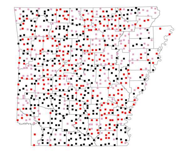
Total number of 2,500 hectare plots where this species is found: 753 ( 86.1% of plots )
| CATEGORY | Hectares, 1994 | % of Total, 1994 | Hectares, 1999 | % of Total, 1999 | Hectares, 2004 | % of Total, 2004 |
| Forest - Total (All Categories) | 1191444.8 | 57.11 | 1201570.4 | 63.82 | 1186893.4 | 63.04 |
| Ozark-Ouachita Pine-Oak Forest | 355008.0 | 17.02 | 312122.2 | 16.58 | 306841.3 | 16.30 |
| Ozark-Ouachita Dry Oak Woodland and Forest | 54415.6 | 2.61 | 41707.1 | 2.22 | 41042.3 | 2.18 |
| Central Interior Highlands Glade and Barrens | 48336.6 | 2.32 | 39139.9 | 2.08 | 38754.1 | 2.06 |
| Mesic Hardwood Forest | 2414.7 | 0.12 | 2115.3 | 0.11 | 2105.6 | 0.11 |
| Dry-Mesic Oak Forest | 279027.2 | 13.37 | 231199.7 | 12.28 | 225955.9 | 12.00 |
| West Gulf Coastal Plain Pine-Hardwood Forest | 211414.9 | 10.13 | 183379.6 | 9.74 | 171515.0 | 9.11 |
| West Gulf Coastal Plain Small Stream Forest | 1363.0 | 0.07 | 726.0 | 0.04 | 770.2 | 0.04 |
| Lower Mississippi River Low Bottomland Forest | 49927.6 | 2.39 | 38552.9 | 2.05 | 38203.0 | 2.03 |
| Lower Mississippi River High Bottomland Forest | 172405.5 | 8.26 | 145163.4 | 7.71 | 142481.3 | 7.57 |
| Lower Mississippi River Bottomland Depression | 8236.6 | 0.39 | 6817.6 | 0.36 | 6608.9 | 0.35 |
| Lower Mississippi River Riparian Forest | 1759.9 | 0.08 | 587.7 | 0.03 | 649.2 | 0.03 |
| Sweetgum | 7135.3 | 0.34 | 5861.3 | 0.31 | 5671.5 | 0.30 |
| Forest - Unknown Category | 0.0 | 0.00 | 194197.8 | 10.31 | 206295.3 | 10.96 |
| Cropland | 368373.9 | 17.66 | 267211.7 | 14.19 | 262836.9 | 13.96 |
| Pastureland | 423369.7 | 20.29 | 306848.8 | 16.30 | 291527.2 | 15.48 |
| Herbaceous | 3588.9 | 0.17 | 17481.7 | 0.93 | 27044.9 | 1.44 |
| Bare/Barren | 1972.5 | 0.09 | 958.9 | 0.05 | 1715.7 | 0.09 |
| Urban | 9307.5 | 0.45 | 16523.3 | 0.88 | 43842.4 | 2.33 |
| Water | 61236.6 | 2.94 | 48289.7 | 2.56 | 44953.3 | 2.39 |
| Unknown (No Data) | 26937.2 | 1.29 | 24007.1 | 1.28 | 24077.7 | 1.28 |