Species Report
Tree Swallow
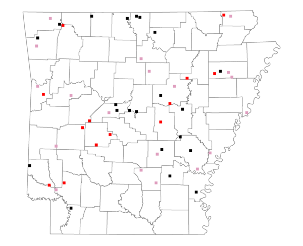
Total number of 2,500 hectare plots where this species is found: 53 ( 6.1% of plots )
| CATEGORY | Hectares, 1994 | % of Total, 1994 | Hectares, 1999 | % of Total, 1999 | Hectares, 2004 | % of Total, 2004 |
| Forest - Total (All Categories) | 68471.8 | 46.64 | 72201.2 | 54.51 | 71602.4 | 54.05 |
| Ozark-Ouachita Pine-Oak Forest | 23818.4 | 16.22 | 20798.8 | 15.70 | 20286.9 | 15.31 |
| Ozark-Ouachita Dry Oak Woodland and Forest | 4989.4 | 3.40 | 4086.4 | 3.08 | 3994.6 | 3.02 |
| Central Interior Highlands Glade and Barrens | 3495.7 | 2.38 | 2926.3 | 2.21 | 2869.5 | 2.17 |
| Mesic Hardwood Forest | 12.6 | 0.01 | 9.0 | 0.01 | 9.0 | 0.01 |
| Dry-Mesic Oak Forest | 15412.2 | 10.50 | 12492.6 | 9.43 | 12142.6 | 9.17 |
| West Gulf Coastal Plain Pine-Hardwood Forest | 3099.7 | 2.11 | 2682.8 | 2.03 | 2501.5 | 1.89 |
| West Gulf Coastal Plain Small Stream Forest | 166.0 | 0.11 | 135.1 | 0.10 | 133.7 | 0.10 |
| Lower Mississippi River Low Bottomland Forest | 2966.1 | 2.02 | 2164.7 | 1.63 | 2200.5 | 1.66 |
| Lower Mississippi River High Bottomland Forest | 13308.3 | 9.06 | 10909.9 | 8.24 | 10703.0 | 8.08 |
| Lower Mississippi River Bottomland Depression | 33.1 | 0.02 | 19.7 | 0.01 | 19.6 | 0.01 |
| Lower Mississippi River Riparian Forest | 128.8 | 0.09 | 20.1 | 0.02 | 25.7 | 0.02 |
| Sweetgum | 1041.6 | 0.71 | 881.6 | 0.67 | 854.4 | 0.65 |
| Forest - Unknown Category | 0.0 | 0.00 | 15074.1 | 11.38 | 15861.5 | 11.97 |
| Cropland | 38820.1 | 26.44 | 27190.9 | 20.53 | 27144.3 | 20.49 |
| Pastureland | 26327.5 | 17.93 | 20154.4 | 15.21 | 18565.3 | 14.02 |
| Herbaceous | 459.0 | 0.31 | 931.1 | 0.70 | 1339.6 | 1.01 |
| Bare/Barren | 72.0 | 0.05 | 39.3 | 0.03 | 144.6 | 0.11 |
| Urban | 1236.1 | 0.84 | 1840.5 | 1.39 | 4533.5 | 3.42 |
| Water | 11365.3 | 7.74 | 10048.5 | 7.59 | 9076.2 | 6.85 |
| Unknown (No Data) | 71.9 | 0.05 | 58.6 | 0.04 | 58.6 | 0.04 |