Species Report
Swallow-tailed Kite
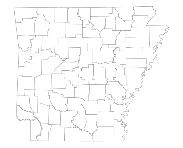
Total number of 2,500 hectare plots where this species is found: 1 ( 0.1% of plots )
| CATEGORY | Hectares, 1994 | % of Total, 1994 | Hectares, 1999 | % of Total, 1999 | Hectares, 2004 | % of Total, 2004 |
| Forest - Total (All Categories) | 2574.8 | 92.36 | 2399.9 | 95.93 | 2396.3 | 95.79 |
| Ozark-Ouachita Pine-Oak Forest | 0.0 | 0.00 | 0.0 | 0.00 | 0.0 | 0.00 |
| Ozark-Ouachita Dry Oak Woodland and Forest | 0.0 | 0.00 | 0.0 | 0.00 | 0.0 | 0.00 |
| Central Interior Highlands Glade and Barrens | 0.0 | 0.00 | 0.0 | 0.00 | 0.0 | 0.00 |
| Mesic Hardwood Forest | 0.0 | 0.00 | 0.0 | 0.00 | 0.0 | 0.00 |
| Dry-Mesic Oak Forest | 0.0 | 0.00 | 0.0 | 0.00 | 0.0 | 0.00 |
| West Gulf Coastal Plain Pine-Hardwood Forest | 0.0 | 0.00 | 0.0 | 0.00 | 0.0 | 0.00 |
| West Gulf Coastal Plain Small Stream Forest | 0.0 | 0.00 | 0.0 | 0.00 | 0.0 | 0.00 |
| Lower Mississippi River Low Bottomland Forest | 1767.9 | 63.41 | 1575.4 | 62.97 | 1576.9 | 63.03 |
| Lower Mississippi River High Bottomland Forest | 806.9 | 28.94 | 720.6 | 28.81 | 720.5 | 28.80 |
| Lower Mississippi River Bottomland Depression | 0.0 | 0.00 | 0.0 | 0.00 | 0.0 | 0.00 |
| Lower Mississippi River Riparian Forest | 0.0 | 0.00 | 0.0 | 0.00 | 0.0 | 0.00 |
| Sweetgum | 0.0 | 0.00 | 0.0 | 0.00 | 0.0 | 0.00 |
| Forest - Unknown Category | 0.0 | 0.00 | 103.8 | 4.15 | 98.9 | 3.95 |
| Cropland | 105.7 | 3.79 | 91.5 | 3.66 | 87.2 | 3.48 |
| Pastureland | 0.0 | 0.00 | 2.8 | 0.11 | 0.0 | 0.00 |
| Herbaceous | 3.4 | 0.12 | 0.0 | 0.00 | 0.0 | 0.00 |
| Bare/Barren | 0.0 | 0.00 | 0.0 | 0.00 | 0.0 | 0.00 |
| Urban | 0.0 | 0.00 | 0.0 | 0.00 | 1.9 | 0.07 |
| Water | 104.0 | 3.73 | 7.6 | 0.31 | 16.4 | 0.66 |
| Unknown (No Data) | 0.0 | 0.00 | 0.0 | 0.00 | 0.0 | 0.00 |