Species Report
Red-eyed Vireo
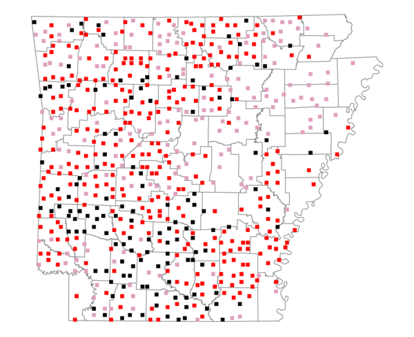
Total number of 2,500 hectare plots where this species is found: 618 ( 70.6% of plots )
| CATEGORY | Hectares, 1994 | % of Total, 1994 | Hectares, 1999 | % of Total, 1999 | Hectares, 2004 | % of Total, 2004 |
| Forest - Total (All Categories) | 1084118.1 | 63.32 | 1091902.9 | 70.66 | 1075854.0 | 69.62 |
| Ozark-Ouachita Pine-Oak Forest | 342767.5 | 20.02 | 302614.5 | 19.58 | 297688.0 | 19.26 |
| Ozark-Ouachita Dry Oak Woodland and Forest | 47549.2 | 2.78 | 36837.9 | 2.38 | 36233.9 | 2.34 |
| Central Interior Highlands Glade and Barrens | 44560.0 | 2.60 | 36379.3 | 2.35 | 36019.4 | 2.33 |
| Mesic Hardwood Forest | 2403.1 | 0.14 | 2107.2 | 0.14 | 2098.0 | 0.14 |
| Dry-Mesic Oak Forest | 248923.5 | 14.54 | 209804.1 | 13.58 | 205670.4 | 13.31 |
| West Gulf Coastal Plain Pine-Hardwood Forest | 199346.1 | 11.64 | 173146.4 | 11.20 | 161820.2 | 10.47 |
| West Gulf Coastal Plain Small Stream Forest | 747.4 | 0.04 | 533.2 | 0.03 | 560.9 | 0.04 |
| Lower Mississippi River Low Bottomland Forest | 39194.7 | 2.29 | 31509.9 | 2.04 | 30849.0 | 2.00 |
| Lower Mississippi River High Bottomland Forest | 144791.8 | 8.46 | 122696.9 | 7.94 | 120375.3 | 7.79 |
| Lower Mississippi River Bottomland Depression | 7448.9 | 0.44 | 6328.9 | 0.41 | 6089.0 | 0.39 |
| Lower Mississippi River Riparian Forest | 970.2 | 0.06 | 491.5 | 0.03 | 539.3 | 0.03 |
| Sweetgum | 5415.5 | 0.32 | 4599.9 | 0.30 | 4433.8 | 0.29 |
| Forest - Unknown Category | 0.0 | 0.00 | 164853.0 | 10.67 | 173476.7 | 11.23 |
| Cropland | 187477.8 | 10.95 | 124521.6 | 8.06 | 123878.0 | 8.02 |
| Pastureland | 362301.6 | 21.16 | 248621.9 | 16.09 | 237365.8 | 15.36 |
| Herbaceous | 2276.3 | 0.13 | 14134.8 | 0.91 | 22672.7 | 1.47 |
| Bare/Barren | 916.6 | 0.05 | 700.2 | 0.05 | 1180.7 | 0.08 |
| Urban | 7253.0 | 0.42 | 10600.9 | 0.69 | 31047.9 | 2.01 |
| Water | 48770.2 | 2.85 | 37815.7 | 2.45 | 36231.5 | 2.34 |
| Unknown (No Data) | 19111.9 | 1.12 | 17099.6 | 1.11 | 17167.1 | 1.11 |