Species Report
Red-bellied Woodpecker
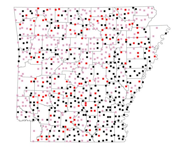
Total number of 2,500 hectare plots where this species is found: 730 ( 83.4% of plots )
| CATEGORY | Hectares, 1994 | % of Total, 1994 | Hectares, 1999 | % of Total, 1999 | Hectares, 2004 | % of Total, 2004 |
| Forest - Total (All Categories) | 1121942.7 | 55.47 | 1128215.3 | 61.81 | 1115086.3 | 61.09 |
| Ozark-Ouachita Pine-Oak Forest | 295913.2 | 14.63 | 259190.0 | 14.20 | 254674.3 | 13.95 |
| Ozark-Ouachita Dry Oak Woodland and Forest | 51885.7 | 2.57 | 40303.0 | 2.21 | 39648.5 | 2.17 |
| Central Interior Highlands Glade and Barrens | 48303.6 | 2.39 | 39165.0 | 2.15 | 38777.6 | 2.12 |
| Mesic Hardwood Forest | 2065.2 | 0.10 | 1803.9 | 0.10 | 1793.4 | 0.10 |
| Dry-Mesic Oak Forest | 269690.4 | 13.33 | 222940.5 | 12.21 | 217821.4 | 11.93 |
| West Gulf Coastal Plain Pine-Hardwood Forest | 209822.8 | 10.37 | 181983.3 | 9.97 | 170377.8 | 9.33 |
| West Gulf Coastal Plain Small Stream Forest | 1363.0 | 0.07 | 726.0 | 0.04 | 770.2 | 0.04 |
| Lower Mississippi River Low Bottomland Forest | 53927.7 | 2.67 | 41310.7 | 2.26 | 41080.2 | 2.25 |
| Lower Mississippi River High Bottomland Forest | 172185.2 | 8.51 | 144680.6 | 7.93 | 141956.2 | 7.78 |
| Lower Mississippi River Bottomland Depression | 8855.5 | 0.44 | 7289.5 | 0.40 | 7082.0 | 0.39 |
| Lower Mississippi River Riparian Forest | 1809.6 | 0.09 | 603.0 | 0.03 | 674.1 | 0.04 |
| Sweetgum | 6120.8 | 0.30 | 5006.4 | 0.27 | 4855.6 | 0.27 |
| Forest - Unknown Category | 0.0 | 0.00 | 183213.4 | 10.04 | 195575.0 | 10.71 |
| Cropland | 398765.5 | 19.72 | 299028.6 | 16.38 | 293386.0 | 16.07 |
| Pastureland | 399996.9 | 19.78 | 291887.1 | 15.99 | 277264.6 | 15.19 |
| Herbaceous | 3645.2 | 0.18 | 17785.3 | 0.97 | 26603.7 | 1.46 |
| Bare/Barren | 1916.5 | 0.09 | 951.6 | 0.05 | 1782.3 | 0.10 |
| Urban | 8876.9 | 0.44 | 15695.6 | 0.86 | 42753.8 | 2.34 |
| Water | 61496.3 | 3.04 | 48755.8 | 2.67 | 45382.8 | 2.49 |
| Unknown (No Data) | 25913.4 | 1.28 | 23060.7 | 1.26 | 23120.3 | 1.27 |