Species Report
Orchard Oriole
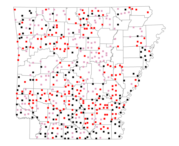
Total number of 2,500 hectare plots where this species is found: 493 ( 56.3% of plots )
| CATEGORY | Hectares, 1994 | % of Total, 1994 | Hectares, 1999 | % of Total, 1999 | Hectares, 2004 | % of Total, 2004 |
| Forest - Total (All Categories) | 795229.5 | 58.23 | 803346.2 | 65.17 | 792775.0 | 64.31 |
| Ozark-Ouachita Pine-Oak Forest | 192878.6 | 14.12 | 169722.2 | 13.77 | 166762.3 | 13.53 |
| Ozark-Ouachita Dry Oak Woodland and Forest | 28038.5 | 2.05 | 21326.0 | 1.73 | 20820.2 | 1.69 |
| Central Interior Highlands Glade and Barrens | 25682.9 | 1.88 | 20482.8 | 1.66 | 20286.5 | 1.65 |
| Mesic Hardwood Forest | 1900.8 | 0.14 | 1665.1 | 0.14 | 1656.3 | 0.13 |
| Dry-Mesic Oak Forest | 176876.9 | 12.95 | 149317.1 | 12.11 | 146180.8 | 11.86 |
| West Gulf Coastal Plain Pine-Hardwood Forest | 188046.9 | 13.77 | 163082.7 | 13.23 | 152577.6 | 12.38 |
| West Gulf Coastal Plain Small Stream Forest | 1099.5 | 0.08 | 532.8 | 0.04 | 567.3 | 0.05 |
| Lower Mississippi River Low Bottomland Forest | 35333.5 | 2.59 | 27609.9 | 2.24 | 27131.5 | 2.20 |
| Lower Mississippi River High Bottomland Forest | 133618.4 | 9.78 | 113141.2 | 9.18 | 111009.4 | 9.01 |
| Lower Mississippi River Bottomland Depression | 6892.2 | 0.50 | 5671.3 | 0.46 | 5452.8 | 0.44 |
| Lower Mississippi River Riparian Forest | 1492.4 | 0.11 | 494.9 | 0.04 | 526.3 | 0.04 |
| Sweetgum | 3368.7 | 0.25 | 2861.2 | 0.23 | 2788.0 | 0.23 |
| Forest - Unknown Category | 0.0 | 0.00 | 127439.0 | 10.34 | 137016.0 | 11.12 |
| Cropland | 227102.5 | 16.63 | 166325.6 | 13.49 | 162073.0 | 13.15 |
| Pastureland | 279198.6 | 20.44 | 193802.1 | 15.72 | 185033.9 | 15.01 |
| Herbaceous | 2196.7 | 0.16 | 14134.8 | 1.15 | 21682.8 | 1.76 |
| Bare/Barren | 1149.4 | 0.08 | 745.3 | 0.06 | 1191.6 | 0.10 |
| Urban | 4951.9 | 0.36 | 7714.8 | 0.63 | 24802.5 | 2.01 |
| Water | 36573.0 | 2.68 | 29335.6 | 2.38 | 27780.6 | 2.25 |
| Unknown (No Data) | 19318.4 | 1.41 | 17259.8 | 1.40 | 17325.0 | 1.41 |