Species Report
Northern Rough-winged Swallow
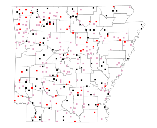
Total number of 2,500 hectare plots where this species is found: 286 ( 32.7% of plots )
| CATEGORY | Hectares, 1994 | % of Total, 1994 | Hectares, 1999 | % of Total, 1999 | Hectares, 2004 | % of Total, 2004 |
| Forest - Total (All Categories) | 428450.7 | 54.07 | 437724.4 | 61.20 | 437704.7 | 61.20 |
| Ozark-Ouachita Pine-Oak Forest | 117375.1 | 14.81 | 102769.4 | 14.37 | 100741.2 | 14.08 |
| Ozark-Ouachita Dry Oak Woodland and Forest | 21871.3 | 2.76 | 16381.1 | 2.29 | 16228.4 | 2.27 |
| Central Interior Highlands Glade and Barrens | 19637.3 | 2.48 | 16033.0 | 2.24 | 15885.4 | 2.22 |
| Mesic Hardwood Forest | 1365.1 | 0.17 | 1180.3 | 0.17 | 1174.4 | 0.16 |
| Dry-Mesic Oak Forest | 105775.5 | 13.35 | 88356.2 | 12.35 | 86686.3 | 12.12 |
| West Gulf Coastal Plain Pine-Hardwood Forest | 66667.1 | 8.41 | 57421.5 | 8.03 | 53589.7 | 7.49 |
| West Gulf Coastal Plain Small Stream Forest | 451.5 | 0.06 | 372.1 | 0.05 | 387.6 | 0.05 |
| Lower Mississippi River Low Bottomland Forest | 18939.1 | 2.39 | 14156.9 | 1.98 | 14197.2 | 1.98 |
| Lower Mississippi River High Bottomland Forest | 70421.1 | 8.89 | 58913.6 | 8.24 | 58036.9 | 8.11 |
| Lower Mississippi River Bottomland Depression | 2587.1 | 0.33 | 2166.8 | 0.30 | 1998.2 | 0.28 |
| Lower Mississippi River Riparian Forest | 604.0 | 0.08 | 343.5 | 0.05 | 387.5 | 0.05 |
| Sweetgum | 2756.5 | 0.35 | 2273.4 | 0.32 | 2212.6 | 0.31 |
| Forest - Unknown Category | 0.0 | 0.00 | 77356.7 | 10.82 | 86179.2 | 12.05 |
| Cropland | 138445.1 | 17.47 | 88960.1 | 12.44 | 86720.2 | 12.12 |
| Pastureland | 173884.3 | 21.95 | 134891.6 | 18.86 | 124270.9 | 17.37 |
| Herbaceous | 1959.0 | 0.25 | 7532.2 | 1.05 | 10447.7 | 1.46 |
| Bare/Barren | 512.2 | 0.06 | 680.6 | 0.10 | 967.8 | 0.14 |
| Urban | 3267.6 | 0.41 | 6075.3 | 0.85 | 17928.4 | 2.51 |
| Water | 32320.5 | 4.08 | 27311.2 | 3.82 | 25115.8 | 3.51 |
| Unknown (No Data) | 13508.8 | 1.70 | 12068.6 | 1.69 | 12088.3 | 1.69 |