Species Report
Northern Mockingbird
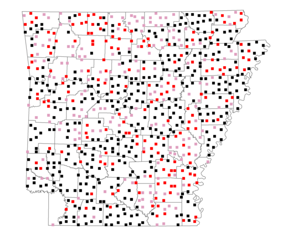
Total number of 2,500 hectare plots where this species is found: 738 ( 84.3% of plots )
| CATEGORY | Hectares, 1994 | % of Total, 1994 | Hectares, 1999 | % of Total, 1999 | Hectares, 2004 | % of Total, 2004 |
| Forest - Total (All Categories) | 1030113.6 | 50.38 | 1041475.9 | 56.44 | 1032086.7 | 55.93 |
| Ozark-Ouachita Pine-Oak Forest | 275538.5 | 13.48 | 240127.3 | 13.01 | 235246.8 | 12.75 |
| Ozark-Ouachita Dry Oak Woodland and Forest | 47331.2 | 2.31 | 35942.2 | 1.95 | 35281.7 | 1.91 |
| Central Interior Highlands Glade and Barrens | 43071.7 | 2.11 | 34700.7 | 1.88 | 34324.6 | 1.86 |
| Mesic Hardwood Forest | 1855.3 | 0.09 | 1617.5 | 0.09 | 1607.4 | 0.09 |
| Dry-Mesic Oak Forest | 246055.1 | 12.03 | 200244.7 | 10.85 | 195115.9 | 10.57 |
| West Gulf Coastal Plain Pine-Hardwood Forest | 188965.4 | 9.24 | 163811.3 | 8.88 | 154330.3 | 8.36 |
| West Gulf Coastal Plain Small Stream Forest | 1379.4 | 0.07 | 711.8 | 0.04 | 713.0 | 0.04 |
| Lower Mississippi River Low Bottomland Forest | 50292.9 | 2.46 | 37178.4 | 2.01 | 37187.1 | 2.02 |
| Lower Mississippi River High Bottomland Forest | 160344.4 | 7.84 | 133276.8 | 7.22 | 130925.9 | 7.09 |
| Lower Mississippi River Bottomland Depression | 6712.4 | 0.33 | 5517.7 | 0.30 | 5359.5 | 0.29 |
| Lower Mississippi River Riparian Forest | 1754.8 | 0.09 | 553.1 | 0.03 | 628.8 | 0.03 |
| Sweetgum | 6812.4 | 0.33 | 5532.1 | 0.30 | 5342.7 | 0.29 |
| Forest - Unknown Category | 0.0 | 0.00 | 182262.2 | 9.88 | 196023.0 | 10.62 |
| Cropland | 510695.0 | 24.98 | 395076.6 | 21.41 | 387803.1 | 21.02 |
| Pastureland | 408828.3 | 19.99 | 308456.9 | 16.72 | 291544.0 | 15.80 |
| Herbaceous | 4229.4 | 0.21 | 17472.8 | 0.95 | 25830.1 | 1.40 |
| Bare/Barren | 1995.3 | 0.10 | 828.4 | 0.04 | 1989.4 | 0.11 |
| Urban | 9480.6 | 0.46 | 17196.4 | 0.93 | 45468.9 | 2.46 |
| Water | 56277.3 | 2.75 | 44359.5 | 2.40 | 40078.7 | 2.17 |
| Unknown (No Data) | 23062.8 | 1.13 | 20484.5 | 1.11 | 20550.0 | 1.11 |