Species Report
Northern Cardinal
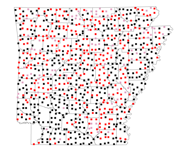
Total number of 2,500 hectare plots where this species is found: 822 ( 93.9% of plots )
| CATEGORY | Hectares, 1994 | % of Total, 1994 | Hectares, 1999 | % of Total, 1999 | Hectares, 2004 | % of Total, 2004 |
| Forest - Total (All Categories) | 1219875.5 | 53.57 | 1226461.7 | 59.67 | 1214061.3 | 59.06 |
| Ozark-Ouachita Pine-Oak Forest | 360481.1 | 15.83 | 316469.9 | 15.40 | 311104.7 | 15.14 |
| Ozark-Ouachita Dry Oak Woodland and Forest | 55014.8 | 2.42 | 42121.9 | 2.05 | 41458.1 | 2.02 |
| Central Interior Highlands Glade and Barrens | 49187.2 | 2.16 | 39896.8 | 1.94 | 39510.0 | 1.92 |
| Mesic Hardwood Forest | 2306.1 | 0.10 | 2016.3 | 0.10 | 2006.1 | 0.10 |
| Dry-Mesic Oak Forest | 285305.8 | 12.53 | 235108.1 | 11.44 | 229724.5 | 11.18 |
| West Gulf Coastal Plain Pine-Hardwood Forest | 212986.9 | 9.35 | 184795.6 | 8.99 | 172850.0 | 8.41 |
| West Gulf Coastal Plain Small Stream Forest | 1538.0 | 0.07 | 843.7 | 0.04 | 840.7 | 0.04 |
| Lower Mississippi River Low Bottomland Forest | 57653.1 | 2.53 | 43583.7 | 2.12 | 43520.9 | 2.12 |
| Lower Mississippi River High Bottomland Forest | 177470.5 | 7.79 | 148305.6 | 7.22 | 145710.6 | 7.09 |
| Lower Mississippi River Bottomland Depression | 8626.6 | 0.38 | 7086.1 | 0.34 | 6872.8 | 0.33 |
| Lower Mississippi River Riparian Forest | 1900.5 | 0.08 | 606.6 | 0.03 | 703.7 | 0.03 |
| Sweetgum | 7405.0 | 0.33 | 6055.9 | 0.29 | 5863.0 | 0.29 |
| Forest - Unknown Category | 0.0 | 0.00 | 199571.5 | 9.71 | 213896.2 | 10.41 |
| Cropland | 515565.6 | 22.64 | 397548.6 | 19.34 | 389718.2 | 18.96 |
| Pastureland | 431032.6 | 18.93 | 315790.5 | 15.36 | 299961.7 | 14.59 |
| Herbaceous | 4248.8 | 0.19 | 19133.0 | 0.93 | 29233.9 | 1.42 |
| Bare/Barren | 2189.0 | 0.10 | 963.5 | 0.05 | 2056.9 | 0.10 |
| Urban | 9523.5 | 0.42 | 17307.5 | 0.84 | 46154.6 | 2.25 |
| Water | 64673.2 | 2.84 | 51366.6 | 2.50 | 47307.7 | 2.30 |
| Unknown (No Data) | 30220.4 | 1.33 | 26898.2 | 1.31 | 26975.5 | 1.31 |