Species Report
Lesser Yellowlegs
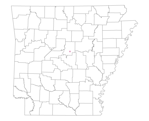
Total number of 2,500 hectare plots where this species is found: 1 ( 0.1% of plots )
| CATEGORY | Hectares, 1994 | % of Total, 1994 | Hectares, 1999 | % of Total, 1999 | Hectares, 2004 | % of Total, 2004 |
| Forest - Total (All Categories) | 706.1 | 25.47 | 1010.4 | 40.39 | 1096.1 | 43.81 |
| Ozark-Ouachita Pine-Oak Forest | 162.5 | 5.86 | 133.9 | 5.35 | 133.4 | 5.33 |
| Ozark-Ouachita Dry Oak Woodland and Forest | 0.0 | 0.00 | 0.0 | 0.00 | 0.0 | 0.00 |
| Central Interior Highlands Glade and Barrens | 151.6 | 5.47 | 125.3 | 5.01 | 125.5 | 5.02 |
| Mesic Hardwood Forest | 0.0 | 0.00 | 0.0 | 0.00 | 0.0 | 0.00 |
| Dry-Mesic Oak Forest | 334.9 | 12.08 | 253.6 | 10.14 | 257.6 | 10.30 |
| West Gulf Coastal Plain Pine-Hardwood Forest | 0.0 | 0.00 | 0.0 | 0.00 | 0.0 | 0.00 |
| West Gulf Coastal Plain Small Stream Forest | 14.9 | 0.54 | 13.5 | 0.54 | 13.5 | 0.54 |
| Lower Mississippi River Low Bottomland Forest | 0.0 | 0.00 | 0.0 | 0.00 | 0.0 | 0.00 |
| Lower Mississippi River High Bottomland Forest | 42.1 | 1.52 | 37.8 | 1.51 | 37.8 | 1.51 |
| Lower Mississippi River Bottomland Depression | 0.0 | 0.00 | 0.0 | 0.00 | 0.0 | 0.00 |
| Lower Mississippi River Riparian Forest | 0.0 | 0.00 | 0.0 | 0.00 | 0.0 | 0.00 |
| Sweetgum | 0.0 | 0.00 | 0.0 | 0.00 | 0.0 | 0.00 |
| Forest - Unknown Category | 0.0 | 0.00 | 446.4 | 17.84 | 528.4 | 21.12 |
| Cropland | 0.0 | 0.00 | 6.0 | 0.24 | 0.0 | 0.00 |
| Pastureland | 2044.2 | 73.74 | 1476.5 | 59.02 | 1384.6 | 55.35 |
| Herbaceous | 0.0 | 0.00 | 2.1 | 0.08 | 2.1 | 0.08 |
| Bare/Barren | 0.0 | 0.00 | 0.0 | 0.00 | 0.0 | 0.00 |
| Urban | 0.0 | 0.00 | 0.0 | 0.00 | 12.8 | 0.51 |
| Water | 21.8 | 0.79 | 6.7 | 0.27 | 6.0 | 0.24 |
| Unknown (No Data) | 0.0 | 0.00 | 0.0 | 0.00 | 0.0 | 0.00 |