Species Report
Least Tern
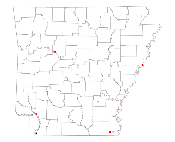
Total number of 2,500 hectare plots where this species is found: 16 ( 1.8% of plots )
| CATEGORY | Hectares, 1994 | % of Total, 1994 | Hectares, 1999 | % of Total, 1999 | Hectares, 2004 | % of Total, 2004 |
| Forest - Total (All Categories) | 13850.1 | 31.25 | 14479.8 | 36.20 | 14641.5 | 36.60 |
| Ozark-Ouachita Pine-Oak Forest | 1284.2 | 2.90 | 1095.1 | 2.74 | 1067.5 | 2.67 |
| Ozark-Ouachita Dry Oak Woodland and Forest | 0.4 | 0.00 | 0.2 | 0.00 | 0.2 | 0.00 |
| Central Interior Highlands Glade and Barrens | 0.0 | 0.00 | 0.0 | 0.00 | 0.0 | 0.00 |
| Mesic Hardwood Forest | 0.0 | 0.00 | 0.0 | 0.00 | 0.0 | 0.00 |
| Dry-Mesic Oak Forest | 700.5 | 1.58 | 575.2 | 1.44 | 519.1 | 1.30 |
| West Gulf Coastal Plain Pine-Hardwood Forest | 1541.4 | 3.48 | 1233.0 | 3.08 | 1229.5 | 3.07 |
| West Gulf Coastal Plain Small Stream Forest | 87.6 | 0.20 | 69.3 | 0.17 | 73.3 | 0.18 |
| Lower Mississippi River Low Bottomland Forest | 2184.2 | 4.93 | 1590.8 | 3.98 | 1597.0 | 3.99 |
| Lower Mississippi River High Bottomland Forest | 7574.8 | 17.09 | 6374.1 | 15.94 | 6272.6 | 15.68 |
| Lower Mississippi River Bottomland Depression | 16.6 | 0.04 | 10.6 | 0.03 | 9.5 | 0.02 |
| Lower Mississippi River Riparian Forest | 99.6 | 0.22 | 72.4 | 0.18 | 72.5 | 0.18 |
| Sweetgum | 360.8 | 0.81 | 300.4 | 0.75 | 281.0 | 0.70 |
| Forest - Unknown Category | 0.0 | 0.00 | 3159.0 | 7.90 | 3519.4 | 8.80 |
| Cropland | 14119.8 | 31.86 | 9006.7 | 22.52 | 8807.0 | 22.02 |
| Pastureland | 2752.0 | 6.21 | 3142.4 | 7.86 | 2737.4 | 6.84 |
| Herbaceous | 9.3 | 0.02 | 1082.8 | 2.71 | 1141.2 | 2.85 |
| Bare/Barren | 266.7 | 0.60 | 291.6 | 0.73 | 116.1 | 0.29 |
| Urban | 474.9 | 1.07 | 890.3 | 2.23 | 1713.5 | 4.28 |
| Water | 9456.2 | 21.34 | 8044.3 | 20.11 | 7780.2 | 19.45 |
| Unknown (No Data) | 3392.1 | 7.65 | 3061.6 | 7.65 | 3062.6 | 7.66 |