Species Report
Indigo Bunting
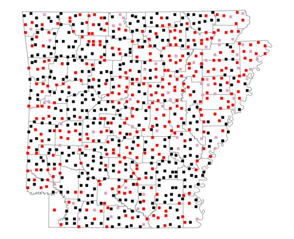
Total number of 2,500 hectare plots where this species is found: 803 ( 91.8% of plots )
| CATEGORY | Hectares, 1994 | % of Total, 1994 | Hectares, 1999 | % of Total, 1999 | Hectares, 2004 | % of Total, 2004 |
| Forest - Total (All Categories) | 1205400.6 | 54.18 | 1212579.8 | 60.39 | 1200177.9 | 59.77 |
| Ozark-Ouachita Pine-Oak Forest | 354681.7 | 15.94 | 311425.8 | 15.51 | 306155.6 | 15.25 |
| Ozark-Ouachita Dry Oak Woodland and Forest | 55006.6 | 2.47 | 42114.5 | 2.10 | 41450.7 | 2.06 |
| Central Interior Highlands Glade and Barrens | 49297.3 | 2.22 | 39997.3 | 1.99 | 39610.4 | 1.97 |
| Mesic Hardwood Forest | 2424.3 | 0.11 | 2123.1 | 0.11 | 2113.3 | 0.11 |
| Dry-Mesic Oak Forest | 284558.2 | 12.79 | 234855.5 | 11.70 | 229657.2 | 11.44 |
| West Gulf Coastal Plain Pine-Hardwood Forest | 207433.8 | 9.32 | 179831.4 | 8.96 | 168313.6 | 8.38 |
| West Gulf Coastal Plain Small Stream Forest | 1529.7 | 0.07 | 843.2 | 0.04 | 839.1 | 0.04 |
| Lower Mississippi River Low Bottomland Forest | 55910.4 | 2.51 | 42463.0 | 2.11 | 42396.6 | 2.11 |
| Lower Mississippi River High Bottomland Forest | 177081.8 | 7.96 | 148261.3 | 7.38 | 145682.5 | 7.26 |
| Lower Mississippi River Bottomland Depression | 8516.0 | 0.38 | 7053.4 | 0.35 | 6837.7 | 0.34 |
| Lower Mississippi River Riparian Forest | 1619.3 | 0.07 | 573.4 | 0.03 | 625.2 | 0.03 |
| Sweetgum | 7341.5 | 0.33 | 6007.6 | 0.30 | 5816.4 | 0.29 |
| Forest - Unknown Category | 0.0 | 0.00 | 197030.2 | 9.81 | 210679.5 | 10.49 |
| Cropland | 482935.0 | 21.71 | 369027.9 | 18.38 | 362385.6 | 18.05 |
| Pastureland | 428483.0 | 19.26 | 313754.6 | 15.63 | 297934.4 | 14.84 |
| Herbaceous | 4043.6 | 0.18 | 18587.8 | 0.93 | 28257.7 | 1.41 |
| Bare/Barren | 2140.8 | 0.10 | 963.3 | 0.05 | 1892.3 | 0.09 |
| Urban | 9331.1 | 0.42 | 17050.7 | 0.85 | 45274.3 | 2.25 |
| Water | 63526.6 | 2.86 | 50261.1 | 2.50 | 46228.7 | 2.30 |
| Unknown (No Data) | 28862.1 | 1.30 | 25711.3 | 1.28 | 25785.5 | 1.28 |