Species Report
Hairy Woodpecker
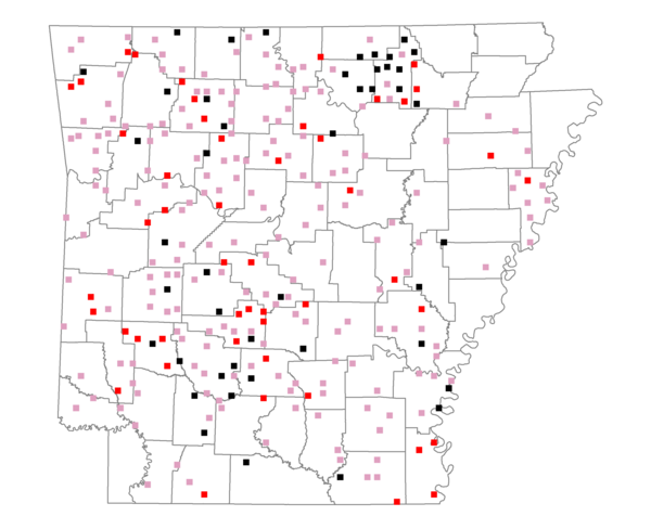
Total number of 2,500 hectare plots where this species is found: 284 ( 32.5% of plots )
| CATEGORY | Hectares, 1994 | % of Total, 1994 | Hectares, 1999 | % of Total, 1999 | Hectares, 2004 | % of Total, 2004 |
| Forest - Total (All Categories) | 512773.7 | 65.15 | 516452.8 | 72.70 | 512000.8 | 72.08 |
| Ozark-Ouachita Pine-Oak Forest | 164348.5 | 20.88 | 145954.0 | 20.55 | 143928.3 | 20.26 |
| Ozark-Ouachita Dry Oak Woodland and Forest | 25711.6 | 3.27 | 21084.5 | 2.97 | 20813.9 | 2.93 |
| Central Interior Highlands Glade and Barrens | 26546.3 | 3.37 | 22094.5 | 3.11 | 21853.1 | 3.08 |
| Mesic Hardwood Forest | 1606.2 | 0.20 | 1414.2 | 0.20 | 1406.6 | 0.20 |
| Dry-Mesic Oak Forest | 126119.3 | 16.02 | 108224.4 | 15.24 | 107013.2 | 15.06 |
| West Gulf Coastal Plain Pine-Hardwood Forest | 75514.1 | 9.59 | 65412.2 | 9.21 | 61716.4 | 8.69 |
| West Gulf Coastal Plain Small Stream Forest | 424.0 | 0.05 | 336.7 | 0.05 | 348.7 | 0.05 |
| Lower Mississippi River Low Bottomland Forest | 17521.8 | 2.23 | 14075.4 | 1.98 | 14034.0 | 1.98 |
| Lower Mississippi River High Bottomland Forest | 70196.4 | 8.92 | 59484.4 | 8.37 | 58839.1 | 8.28 |
| Lower Mississippi River Bottomland Depression | 1782.3 | 0.23 | 1504.5 | 0.21 | 1454.2 | 0.20 |
| Lower Mississippi River Riparian Forest | 523.4 | 0.07 | 233.9 | 0.03 | 241.7 | 0.03 |
| Sweetgum | 2479.8 | 0.32 | 2057.8 | 0.29 | 2028.7 | 0.29 |
| Forest - Unknown Category | 0.0 | 0.00 | 74576.3 | 10.50 | 78323.0 | 11.03 |
| Cropland | 78881.3 | 10.02 | 55361.5 | 7.79 | 54543.2 | 7.68 |
| Pastureland | 158488.7 | 20.14 | 102571.0 | 14.44 | 98377.9 | 13.85 |
| Herbaceous | 657.9 | 0.08 | 5376.4 | 0.76 | 7660.6 | 1.08 |
| Bare/Barren | 469.9 | 0.06 | 505.7 | 0.07 | 604.9 | 0.09 |
| Urban | 2760.9 | 0.35 | 4248.6 | 0.60 | 12302.3 | 1.73 |
| Water | 25806.1 | 3.28 | 19418.6 | 2.73 | 18430.5 | 2.59 |
| Unknown (No Data) | 7202.9 | 0.92 | 6419.6 | 0.90 | 6434.2 | 0.91 |