Species Report
Great Egret
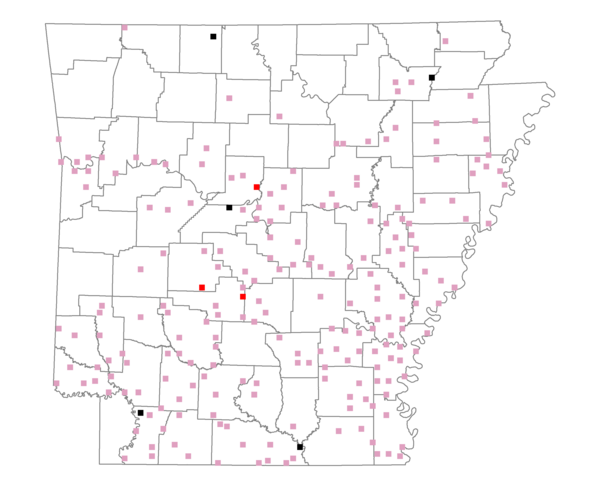
Total number of 2,500 hectare plots where this species is found: 217 ( 24.8% of plots )
| CATEGORY | Hectares, 1994 | % of Total, 1994 | Hectares, 1999 | % of Total, 1999 | Hectares, 2004 | % of Total, 2004 |
| Forest - Total (All Categories) | 273453.4 | 45.49 | 281873.7 | 51.98 | 282603.6 | 52.11 |
| Ozark-Ouachita Pine-Oak Forest | 46517.9 | 7.74 | 40388.8 | 7.45 | 39368.5 | 7.26 |
| Ozark-Ouachita Dry Oak Woodland and Forest | 1948.9 | 0.32 | 1371.7 | 0.25 | 1426.6 | 0.26 |
| Central Interior Highlands Glade and Barrens | 3513.4 | 0.58 | 2586.6 | 0.48 | 2605.5 | 0.48 |
| Mesic Hardwood Forest | 60.3 | 0.01 | 53.2 | 0.01 | 53.3 | 0.01 |
| Dry-Mesic Oak Forest | 31195.6 | 5.19 | 25286.7 | 4.66 | 24677.4 | 4.55 |
| West Gulf Coastal Plain Pine-Hardwood Forest | 76496.2 | 12.73 | 66175.3 | 12.20 | 62815.9 | 11.58 |
| West Gulf Coastal Plain Small Stream Forest | 865.6 | 0.14 | 425.4 | 0.08 | 462.3 | 0.09 |
| Lower Mississippi River Low Bottomland Forest | 26832.2 | 4.46 | 20735.3 | 3.82 | 20849.2 | 3.84 |
| Lower Mississippi River High Bottomland Forest | 79416.6 | 13.21 | 66577.1 | 12.28 | 65438.5 | 12.07 |
| Lower Mississippi River Bottomland Depression | 3386.6 | 0.56 | 2602.3 | 0.48 | 2580.9 | 0.48 |
| Lower Mississippi River Riparian Forest | 1322.9 | 0.22 | 297.1 | 0.05 | 381.6 | 0.07 |
| Sweetgum | 1897.1 | 0.32 | 1575.5 | 0.29 | 1517.6 | 0.28 |
| Forest - Unknown Category | 0.0 | 0.00 | 53798.7 | 9.92 | 60426.4 | 11.14 |
| Cropland | 195870.5 | 32.58 | 146091.0 | 26.94 | 141904.3 | 26.17 |
| Pastureland | 89058.0 | 14.82 | 70780.0 | 13.05 | 63949.4 | 11.79 |
| Herbaceous | 1260.6 | 0.21 | 8235.2 | 1.52 | 10613.4 | 1.96 |
| Bare/Barren | 1276.7 | 0.21 | 434.3 | 0.08 | 566.5 | 0.10 |
| Urban | 1996.3 | 0.33 | 4746.1 | 0.88 | 13764.0 | 2.54 |
| Water | 29578.8 | 4.92 | 22456.3 | 4.14 | 21208.1 | 3.91 |
| Unknown (No Data) | 8629.6 | 1.44 | 7707.3 | 1.42 | 7714.7 | 1.42 |