Species Report
Grasshopper Sparrow
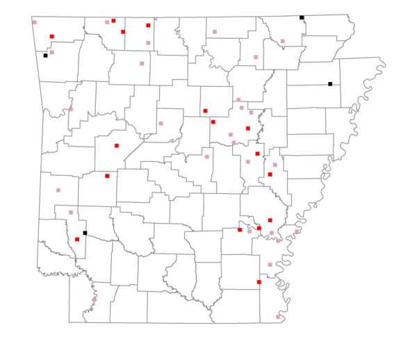
Total number of 2,500 hectare plots where this species is found: 47 ( 5.4% of plots )
| CATEGORY | Hectares, 1994 | % of Total, 1994 | Hectares, 1999 | % of Total, 1999 | Hectares, 2004 | % of Total, 2004 |
| Forest - Total (All Categories) | 52220.7 | 40.04 | 50803.0 | 43.21 | 52642.2 | 44.78 |
| Ozark-Ouachita Pine-Oak Forest | 12218.0 | 9.37 | 10242.0 | 8.71 | 10154.3 | 8.64 |
| Ozark-Ouachita Dry Oak Woodland and Forest | 5128.4 | 3.93 | 3165.5 | 2.69 | 3088.9 | 2.63 |
| Central Interior Highlands Glade and Barrens | 4436.1 | 3.40 | 2939.9 | 2.50 | 3009.4 | 2.56 |
| Mesic Hardwood Forest | 9.5 | 0.01 | 7.7 | 0.01 | 7.7 | 0.01 |
| Dry-Mesic Oak Forest | 13066.5 | 10.02 | 9991.7 | 8.50 | 9715.3 | 8.26 |
| West Gulf Coastal Plain Pine-Hardwood Forest | 972.7 | 0.75 | 763.6 | 0.65 | 796.7 | 0.68 |
| West Gulf Coastal Plain Small Stream Forest | 527.0 | 0.40 | 176.3 | 0.15 | 187.7 | 0.16 |
| Lower Mississippi River Low Bottomland Forest | 6180.4 | 4.74 | 5163.2 | 4.39 | 5151.9 | 4.38 |
| Lower Mississippi River High Bottomland Forest | 8572.0 | 6.57 | 7009.3 | 5.96 | 6953.1 | 5.91 |
| Lower Mississippi River Bottomland Depression | 170.9 | 0.13 | 51.9 | 0.04 | 73.9 | 0.06 |
| Lower Mississippi River Riparian Forest | 328.4 | 0.25 | 105.5 | 0.09 | 132.6 | 0.11 |
| Sweetgum | 610.7 | 0.47 | 527.2 | 0.45 | 526.7 | 0.45 |
| Forest - Unknown Category | 0.0 | 0.00 | 10659.2 | 9.07 | 12843.9 | 10.92 |
| Cropland | 33640.5 | 25.80 | 23349.5 | 19.86 | 22459.7 | 19.10 |
| Pastureland | 38227.7 | 29.31 | 36960.5 | 31.44 | 35224.8 | 29.96 |
| Herbaceous | 324.0 | 0.25 | 940.4 | 0.80 | 985.8 | 0.84 |
| Bare/Barren | 624.2 | 0.48 | 130.0 | 0.11 | 203.3 | 0.17 |
| Urban | 225.2 | 0.17 | 1192.9 | 1.01 | 2210.4 | 1.88 |
| Water | 5059.5 | 3.88 | 4119.2 | 3.50 | 3758.3 | 3.20 |
| Unknown (No Data) | 90.5 | 0.07 | 72.9 | 0.06 | 83.9 | 0.07 |