Species Report
Eastern Phoebe
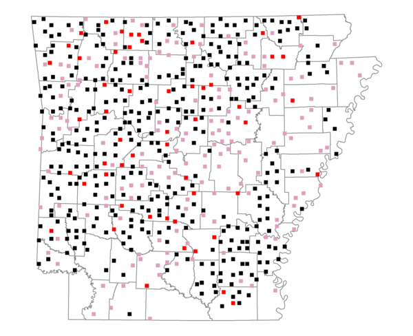
Total number of 2,500 hectare plots where this species is found: 582 ( 66.5% of plots )
| CATEGORY | Hectares, 1994 | % of Total, 1994 | Hectares, 1999 | % of Total, 1999 | Hectares, 2004 | % of Total, 2004 |
| Forest - Total (All Categories) | 930956.8 | 57.73 | 942651.4 | 64.76 | 930537.9 | 63.92 |
| Ozark-Ouachita Pine-Oak Forest | 313845.0 | 19.46 | 275763.6 | 18.94 | 270966.4 | 18.61 |
| Ozark-Ouachita Dry Oak Woodland and Forest | 49620.5 | 3.08 | 38023.8 | 2.61 | 37388.8 | 2.57 |
| Central Interior Highlands Glade and Barrens | 45460.5 | 2.82 | 36795.3 | 2.53 | 36472.4 | 2.51 |
| Mesic Hardwood Forest | 2299.0 | 0.14 | 2010.9 | 0.14 | 2000.7 | 0.14 |
| Dry-Mesic Oak Forest | 235109.3 | 14.58 | 195296.4 | 13.42 | 191127.5 | 13.13 |
| West Gulf Coastal Plain Pine-Hardwood Forest | 124492.9 | 7.72 | 107619.4 | 7.39 | 99813.0 | 6.86 |
| West Gulf Coastal Plain Small Stream Forest | 1020.3 | 0.06 | 558.7 | 0.04 | 588.4 | 0.04 |
| Lower Mississippi River Low Bottomland Forest | 32565.5 | 2.02 | 25555.1 | 1.76 | 25255.5 | 1.73 |
| Lower Mississippi River High Bottomland Forest | 114910.1 | 7.13 | 96469.5 | 6.63 | 94458.6 | 6.49 |
| Lower Mississippi River Bottomland Depression | 3873.3 | 0.24 | 3155.9 | 0.22 | 3035.6 | 0.21 |
| Lower Mississippi River Riparian Forest | 1267.3 | 0.08 | 425.1 | 0.03 | 463.7 | 0.03 |
| Sweetgum | 6493.1 | 0.40 | 5307.7 | 0.36 | 5143.8 | 0.35 |
| Forest - Unknown Category | 0.0 | 0.00 | 155670.2 | 10.69 | 163823.5 | 11.25 |
| Cropland | 238069.3 | 14.76 | 164945.1 | 11.33 | 164252.0 | 11.28 |
| Pastureland | 376646.9 | 23.36 | 276707.3 | 19.01 | 261540.1 | 17.97 |
| Herbaceous | 1964.4 | 0.12 | 10566.6 | 0.73 | 17237.6 | 1.18 |
| Bare/Barren | 1164.5 | 0.07 | 678.5 | 0.05 | 1105.3 | 0.08 |
| Urban | 6336.3 | 0.39 | 13283.5 | 0.91 | 35695.6 | 2.45 |
| Water | 42111.0 | 2.61 | 33215.1 | 2.28 | 31626.0 | 2.17 |
| Unknown (No Data) | 15340.4 | 0.95 | 13643.4 | 0.94 | 13696.3 | 0.94 |