Species Report
Common Nighthawk
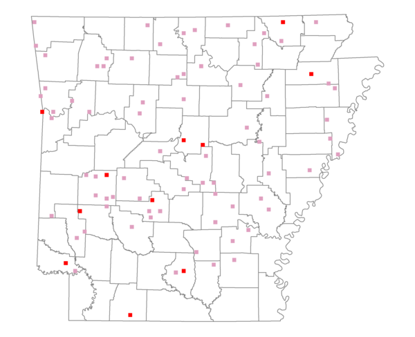
Total number of 2,500 hectare plots where this species is found: 84 ( 9.6% of plots )
| CATEGORY | Hectares, 1994 | % of Total, 1994 | Hectares, 1999 | % of Total, 1999 | Hectares, 2004 | % of Total, 2004 |
| Forest - Total (All Categories) | 119636.4 | 51.45 | 120137.3 | 57.22 | 120571.9 | 57.43 |
| Ozark-Ouachita Pine-Oak Forest | 37807.8 | 16.26 | 32862.2 | 15.65 | 32164.6 | 15.32 |
| Ozark-Ouachita Dry Oak Woodland and Forest | 6670.6 | 2.87 | 5102.1 | 2.43 | 5006.5 | 2.38 |
| Central Interior Highlands Glade and Barrens | 5680.5 | 2.44 | 4413.9 | 2.10 | 4414.0 | 2.10 |
| Mesic Hardwood Forest | 356.3 | 0.15 | 306.8 | 0.15 | 305.3 | 0.15 |
| Dry-Mesic Oak Forest | 29660.4 | 12.76 | 23888.9 | 11.38 | 23448.8 | 11.17 |
| West Gulf Coastal Plain Pine-Hardwood Forest | 13881.6 | 5.97 | 11918.1 | 5.68 | 11356.0 | 5.41 |
| West Gulf Coastal Plain Small Stream Forest | 35.6 | 0.02 | 12.2 | 0.01 | 10.6 | 0.01 |
| Lower Mississippi River Low Bottomland Forest | 7759.2 | 3.34 | 5995.1 | 2.86 | 6028.7 | 2.87 |
| Lower Mississippi River High Bottomland Forest | 16399.1 | 7.05 | 13416.2 | 6.39 | 13061.1 | 6.22 |
| Lower Mississippi River Bottomland Depression | 382.1 | 0.16 | 244.0 | 0.12 | 237.3 | 0.11 |
| Lower Mississippi River Riparian Forest | 207.3 | 0.09 | 98.4 | 0.05 | 124.8 | 0.06 |
| Sweetgum | 796.0 | 0.34 | 576.6 | 0.27 | 546.2 | 0.26 |
| Forest - Unknown Category | 0.0 | 0.00 | 21302.9 | 10.15 | 23868.0 | 11.37 |
| Cropland | 42022.1 | 18.07 | 28950.0 | 13.79 | 26918.1 | 12.82 |
| Pastureland | 55434.0 | 23.84 | 41747.9 | 19.88 | 37699.0 | 17.96 |
| Herbaceous | 436.3 | 0.19 | 1997.0 | 0.95 | 2205.7 | 1.05 |
| Bare/Barren | 343.7 | 0.15 | 48.7 | 0.02 | 245.4 | 0.12 |
| Urban | 3360.2 | 1.45 | 7906.3 | 3.77 | 13744.0 | 6.55 |
| Water | 7101.9 | 3.05 | 5461.9 | 2.60 | 4856.3 | 2.31 |
| Unknown (No Data) | 4201.4 | 1.81 | 3712.7 | 1.77 | 3721.3 | 1.77 |