Species Report
Cedar Waxwing
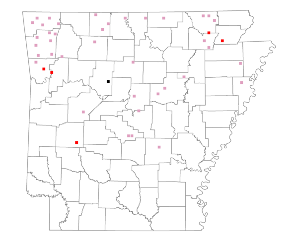
Total number of 2,500 hectare plots where this species is found: 44 ( 5.0% of plots )
| CATEGORY | Hectares, 1994 | % of Total, 1994 | Hectares, 1999 | % of Total, 1999 | Hectares, 2004 | % of Total, 2004 |
| Forest - Total (All Categories) | 60651.7 | 49.77 | 59588.1 | 54.14 | 59902.1 | 54.43 |
| Ozark-Ouachita Pine-Oak Forest | 14815.1 | 12.16 | 12990.1 | 11.80 | 12891.1 | 11.71 |
| Ozark-Ouachita Dry Oak Woodland and Forest | 8548.5 | 7.02 | 6150.3 | 5.59 | 6054.4 | 5.50 |
| Central Interior Highlands Glade and Barrens | 4189.6 | 3.44 | 3391.6 | 3.08 | 3331.1 | 3.03 |
| Mesic Hardwood Forest | 137.9 | 0.11 | 118.5 | 0.11 | 117.0 | 0.11 |
| Dry-Mesic Oak Forest | 27316.8 | 22.42 | 22542.1 | 20.48 | 21954.9 | 19.95 |
| West Gulf Coastal Plain Pine-Hardwood Forest | 842.5 | 0.69 | 690.0 | 0.63 | 661.3 | 0.60 |
| West Gulf Coastal Plain Small Stream Forest | 70.8 | 0.06 | 59.8 | 0.05 | 57.9 | 0.05 |
| Lower Mississippi River Low Bottomland Forest | 782.0 | 0.64 | 421.3 | 0.38 | 506.8 | 0.46 |
| Lower Mississippi River High Bottomland Forest | 3654.9 | 3.00 | 2845.7 | 2.59 | 2857.4 | 2.60 |
| Lower Mississippi River Bottomland Depression | 0.0 | 0.00 | 0.0 | 0.00 | 0.0 | 0.00 |
| Lower Mississippi River Riparian Forest | 98.2 | 0.08 | 79.9 | 0.07 | 82.5 | 0.07 |
| Sweetgum | 195.3 | 0.16 | 167.5 | 0.15 | 163.0 | 0.15 |
| Forest - Unknown Category | 0.0 | 0.00 | 10131.4 | 9.21 | 11224.6 | 10.20 |
| Cropland | 20320.5 | 16.68 | 17477.9 | 15.88 | 16856.5 | 15.32 |
| Pastureland | 36488.5 | 29.94 | 28751.9 | 26.12 | 26914.9 | 24.45 |
| Herbaceous | 189.6 | 0.16 | 509.8 | 0.46 | 183.5 | 0.17 |
| Bare/Barren | 61.1 | 0.05 | 27.8 | 0.03 | 135.4 | 0.12 |
| Urban | 499.6 | 0.41 | 642.2 | 0.58 | 3240.2 | 2.94 |
| Water | 3642.4 | 2.99 | 3065.2 | 2.78 | 2830.2 | 2.57 |
| Unknown (No Data) | 6.2 | 0.01 | 0.0 | 0.00 | 0.0 | 0.00 |