Species Report
Blue Grosbeak
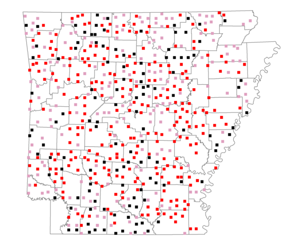
Total number of 2,500 hectare plots where this species is found: 561 ( 64.1% of plots )
| CATEGORY | Hectares, 1994 | % of Total, 1994 | Hectares, 1999 | % of Total, 1999 | Hectares, 2004 | % of Total, 2004 |
| Forest - Total (All Categories) | 890916.1 | 57.32 | 894072.7 | 63.73 | 887265.2 | 63.24 |
| Ozark-Ouachita Pine-Oak Forest | 251733.4 | 16.20 | 220692.3 | 15.73 | 217232.7 | 15.48 |
| Ozark-Ouachita Dry Oak Woodland and Forest | 40145.9 | 2.58 | 29808.1 | 2.12 | 29448.4 | 2.10 |
| Central Interior Highlands Glade and Barrens | 37943.7 | 2.44 | 30412.2 | 2.17 | 30260.5 | 2.16 |
| Mesic Hardwood Forest | 2185.6 | 0.14 | 1911.8 | 0.14 | 1903.0 | 0.14 |
| Dry-Mesic Oak Forest | 224143.8 | 14.42 | 185784.6 | 13.24 | 182099.1 | 12.98 |
| West Gulf Coastal Plain Pine-Hardwood Forest | 166814.9 | 10.73 | 144772.3 | 10.32 | 136025.6 | 9.70 |
| West Gulf Coastal Plain Small Stream Forest | 825.8 | 0.05 | 360.0 | 0.03 | 348.5 | 0.02 |
| Lower Mississippi River Low Bottomland Forest | 31675.0 | 2.04 | 23953.6 | 1.71 | 23713.6 | 1.69 |
| Lower Mississippi River High Bottomland Forest | 123607.7 | 7.95 | 104235.9 | 7.43 | 102257.7 | 7.29 |
| Lower Mississippi River Bottomland Depression | 5917.6 | 0.38 | 4862.0 | 0.35 | 4688.9 | 0.33 |
| Lower Mississippi River Riparian Forest | 995.9 | 0.06 | 379.6 | 0.03 | 434.0 | 0.03 |
| Sweetgum | 4926.7 | 0.32 | 3996.7 | 0.28 | 3912.7 | 0.28 |
| Forest - Unknown Category | 0.0 | 0.00 | 142903.6 | 10.19 | 154940.6 | 11.04 |
| Cropland | 259065.9 | 16.67 | 187691.2 | 13.38 | 182342.7 | 13.00 |
| Pastureland | 340639.9 | 21.92 | 250070.6 | 17.82 | 237861.5 | 16.95 |
| Herbaceous | 3075.5 | 0.20 | 13591.5 | 0.97 | 19901.0 | 1.42 |
| Bare/Barren | 1184.9 | 0.08 | 463.1 | 0.03 | 1220.2 | 0.09 |
| Urban | 5303.2 | 0.34 | 12060.7 | 0.86 | 31153.3 | 2.22 |
| Water | 39085.0 | 2.51 | 31676.0 | 2.26 | 29818.7 | 2.13 |
| Unknown (No Data) | 15027.3 | 0.97 | 13371.7 | 0.95 | 13434.9 | 0.96 |