Species Report
Black Vulture
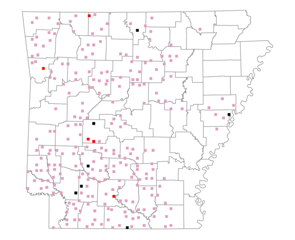
Total number of 2,500 hectare plots where this species is found: 256 ( 29.3% of plots )
| CATEGORY | Hectares, 1994 | % of Total, 1994 | Hectares, 1999 | % of Total, 1999 | Hectares, 2004 | % of Total, 2004 |
| Forest - Total (All Categories) | 464869.1 | 65.53 | 473240.8 | 73.91 | 468347.9 | 73.15 |
| Ozark-Ouachita Pine-Oak Forest | 125097.4 | 17.64 | 109956.9 | 17.17 | 107606.6 | 16.81 |
| Ozark-Ouachita Dry Oak Woodland and Forest | 13892.3 | 1.96 | 10405.3 | 1.63 | 10386.7 | 1.62 |
| Central Interior Highlands Glade and Barrens | 12175.0 | 1.72 | 9538.2 | 1.49 | 9518.7 | 1.49 |
| Mesic Hardwood Forest | 939.0 | 0.13 | 812.4 | 0.13 | 802.2 | 0.13 |
| Dry-Mesic Oak Forest | 87258.9 | 12.30 | 73479.1 | 11.48 | 72264.5 | 11.29 |
| West Gulf Coastal Plain Pine-Hardwood Forest | 131078.5 | 18.48 | 113704.4 | 17.76 | 107385.1 | 16.77 |
| West Gulf Coastal Plain Small Stream Forest | 198.7 | 0.03 | 159.7 | 0.02 | 171.1 | 0.03 |
| Lower Mississippi River Low Bottomland Forest | 10472.9 | 1.48 | 7857.0 | 1.23 | 7577.8 | 1.18 |
| Lower Mississippi River High Bottomland Forest | 77554.1 | 10.93 | 65907.8 | 10.29 | 65097.2 | 10.17 |
| Lower Mississippi River Bottomland Depression | 4028.7 | 0.57 | 3490.7 | 0.55 | 3350.3 | 0.52 |
| Lower Mississippi River Riparian Forest | 365.7 | 0.05 | 269.9 | 0.04 | 293.1 | 0.05 |
| Sweetgum | 1807.9 | 0.25 | 1527.7 | 0.24 | 1477.6 | 0.23 |
| Forest - Unknown Category | 0.0 | 0.00 | 76131.8 | 11.89 | 82417.1 | 12.87 |
| Cropland | 40771.1 | 5.75 | 20033.3 | 3.13 | 21398.6 | 3.34 |
| Pastureland | 180050.6 | 25.38 | 119197.2 | 18.62 | 110463.3 | 17.25 |
| Herbaceous | 423.5 | 0.06 | 7324.8 | 1.14 | 11236.4 | 1.75 |
| Bare/Barren | 0.0 | 0.00 | 161.6 | 0.03 | 572.1 | 0.09 |
| Urban | 1770.8 | 0.25 | 3344.0 | 0.52 | 11857.2 | 1.85 |
| Water | 19121.2 | 2.70 | 14919.1 | 2.33 | 14329.8 | 2.24 |
| Unknown (No Data) | 2353.3 | 0.33 | 2070.1 | 0.32 | 2085.5 | 0.33 |