Species Report
Bald Eagle
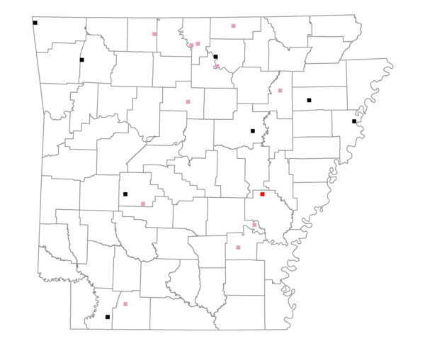
Total number of 2,500 hectare plots where this species is found: 20 ( 2.3% of plots )
| CATEGORY | Hectares, 1994 | % of Total, 1994 | Hectares, 1999 | % of Total, 1999 | Hectares, 2004 | % of Total, 2004 |
| Forest - Total (All Categories) | 28834.9 | 52.11 | 27775.1 | 55.59 | 28199.7 | 56.44 |
| Ozark-Ouachita Pine-Oak Forest | 7633.1 | 13.80 | 6722.9 | 13.46 | 6532.2 | 13.07 |
| Ozark-Ouachita Dry Oak Woodland and Forest | 2679.7 | 4.84 | 1996.7 | 4.00 | 1962.5 | 3.93 |
| Central Interior Highlands Glade and Barrens | 4572.5 | 8.26 | 3981.8 | 7.97 | 3911.6 | 7.83 |
| Mesic Hardwood Forest | 12.9 | 0.02 | 11.5 | 0.02 | 11.6 | 0.02 |
| Dry-Mesic Oak Forest | 5472.8 | 9.89 | 4389.1 | 8.78 | 4268.8 | 8.54 |
| West Gulf Coastal Plain Pine-Hardwood Forest | 2547.2 | 4.60 | 2252.0 | 4.51 | 2199.8 | 4.40 |
| West Gulf Coastal Plain Small Stream Forest | 198.3 | 0.36 | 55.5 | 0.11 | 65.7 | 0.13 |
| Lower Mississippi River Low Bottomland Forest | 1392.6 | 2.52 | 1051.5 | 2.10 | 1045.1 | 2.09 |
| Lower Mississippi River High Bottomland Forest | 4191.0 | 7.57 | 3546.9 | 7.10 | 3524.4 | 7.05 |
| Lower Mississippi River Bottomland Depression | 32.9 | 0.06 | 12.2 | 0.02 | 10.6 | 0.02 |
| Lower Mississippi River Riparian Forest | 41.0 | 0.07 | 31.9 | 0.06 | 34.5 | 0.07 |
| Sweetgum | 61.1 | 0.11 | 55.1 | 0.11 | 55.2 | 0.11 |
| Forest - Unknown Category | 0.0 | 0.00 | 3668.3 | 7.34 | 4577.8 | 9.16 |
| Cropland | 12819.1 | 23.17 | 10549.4 | 21.11 | 9627.5 | 19.27 |
| Pastureland | 9825.6 | 17.76 | 8084.4 | 16.18 | 7866.9 | 15.75 |
| Herbaceous | 136.8 | 0.25 | 602.5 | 1.21 | 640.9 | 1.28 |
| Bare/Barren | 168.4 | 0.30 | 0.0 | 0.00 | 7.1 | 0.01 |
| Urban | 131.9 | 0.24 | 145.5 | 0.29 | 1088.0 | 2.18 |
| Water | 3413.7 | 6.17 | 2806.9 | 5.62 | 2533.7 | 5.07 |
| Unknown (No Data) | 0.0 | 0.00 | 0.0 | 0.00 | 0.0 | 0.00 |