Species Report
Anhinga
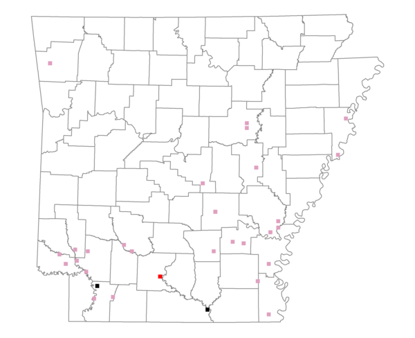
Total number of 2,500 hectare plots where this species is found: 30 ( 3.4% of plots )
| CATEGORY | Hectares, 1994 | % of Total, 1994 | Hectares, 1999 | % of Total, 1999 | Hectares, 2004 | % of Total, 2004 |
| Forest - Total (All Categories) | 39999.5 | 48.09 | 40109.6 | 53.49 | 41903.5 | 55.89 |
| Ozark-Ouachita Pine-Oak Forest | 390.3 | 0.47 | 342.6 | 0.46 | 321.4 | 0.43 |
| Ozark-Ouachita Dry Oak Woodland and Forest | 482.8 | 0.58 | 328.7 | 0.44 | 328.4 | 0.44 |
| Central Interior Highlands Glade and Barrens | 16.8 | 0.02 | 5.4 | 0.01 | 6.4 | 0.01 |
| Mesic Hardwood Forest | 0.0 | 0.00 | 0.0 | 0.00 | 0.0 | 0.00 |
| Dry-Mesic Oak Forest | 2332.1 | 2.80 | 1889.3 | 2.52 | 1830.5 | 2.44 |
| West Gulf Coastal Plain Pine-Hardwood Forest | 8814.5 | 10.60 | 7536.4 | 10.05 | 7413.2 | 9.89 |
| West Gulf Coastal Plain Small Stream Forest | 47.4 | 0.06 | 29.3 | 0.04 | 31.0 | 0.04 |
| Lower Mississippi River Low Bottomland Forest | 6163.7 | 7.41 | 4931.8 | 6.58 | 5003.3 | 6.67 |
| Lower Mississippi River High Bottomland Forest | 19509.9 | 23.46 | 16468.7 | 21.96 | 16240.7 | 21.66 |
| Lower Mississippi River Bottomland Depression | 1972.3 | 2.37 | 1682.0 | 2.24 | 1674.3 | 2.23 |
| Lower Mississippi River Riparian Forest | 187.3 | 0.23 | 42.5 | 0.06 | 49.1 | 0.07 |
| Sweetgum | 82.4 | 0.10 | 67.5 | 0.09 | 68.0 | 0.09 |
| Forest - Unknown Category | 0.0 | 0.00 | 6785.5 | 9.05 | 8937.2 | 11.92 |
| Cropland | 25761.3 | 30.97 | 15513.6 | 20.69 | 14273.2 | 19.04 |
| Pastureland | 9012.7 | 10.84 | 10462.9 | 13.95 | 9266.0 | 12.36 |
| Herbaceous | 305.1 | 0.37 | 1536.4 | 2.05 | 1572.4 | 2.10 |
| Bare/Barren | 49.1 | 0.06 | 129.9 | 0.17 | 309.4 | 0.41 |
| Urban | 559.7 | 0.67 | 881.9 | 1.18 | 2029.0 | 2.71 |
| Water | 7418.7 | 8.92 | 6288.4 | 8.39 | 5569.3 | 7.43 |
| Unknown (No Data) | 71.1 | 0.09 | 58.6 | 0.08 | 58.6 | 0.08 |