Species Report
Spotted Sandpiper
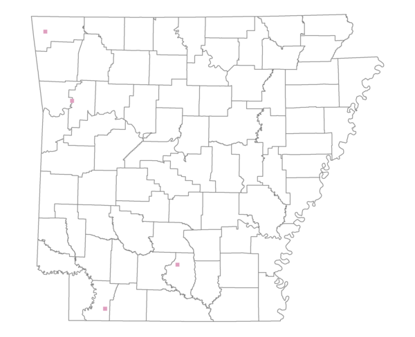
Total number of 2,500 hectare plots where this species is found: 4 ( 0.5% of plots )
| CATEGORY | Hectares, 1994 | % of Total, 1994 | Hectares, 1999 | % of Total, 1999 | Hectares, 2004 | % of Total, 2004 |
| Forest - Total (All Categories) | 6801.7 | 61.34 | 6898.1 | 69.13 | 6433.7 | 64.48 |
| Ozark-Ouachita Pine-Oak Forest | 406.7 | 3.67 | 322.8 | 3.23 | 322.8 | 3.23 |
| Ozark-Ouachita Dry Oak Woodland and Forest | 608.6 | 5.49 | 536.5 | 5.38 | 531.2 | 5.32 |
| Central Interior Highlands Glade and Barrens | 7.6 | 0.07 | 6.8 | 0.07 | 6.8 | 0.07 |
| Mesic Hardwood Forest | 0.0 | 0.00 | 0.0 | 0.00 | 0.0 | 0.00 |
| Dry-Mesic Oak Forest | 1673.0 | 15.09 | 1377.7 | 13.81 | 1339.5 | 13.42 |
| West Gulf Coastal Plain Pine-Hardwood Forest | 2836.5 | 25.58 | 2438.0 | 24.43 | 1898.9 | 19.03 |
| West Gulf Coastal Plain Small Stream Forest | 0.0 | 0.00 | 0.0 | 0.00 | 0.0 | 0.00 |
| Lower Mississippi River Low Bottomland Forest | 390.9 | 3.53 | 305.1 | 3.06 | 267.3 | 2.68 |
| Lower Mississippi River High Bottomland Forest | 621.2 | 5.60 | 523.3 | 5.24 | 520.4 | 5.22 |
| Lower Mississippi River Bottomland Depression | 218.7 | 1.97 | 190.8 | 1.91 | 159.0 | 1.59 |
| Lower Mississippi River Riparian Forest | 38.6 | 0.35 | 31.2 | 0.31 | 33.1 | 0.33 |
| Sweetgum | 0.0 | 0.00 | 0.0 | 0.00 | 0.0 | 0.00 |
| Forest - Unknown Category | 0.0 | 0.00 | 1166.0 | 11.68 | 1354.7 | 13.58 |
| Cropland | 125.1 | 1.13 | 0.0 | 0.00 | 3.7 | 0.04 |
| Pastureland | 3661.2 | 33.02 | 2394.0 | 23.99 | 2104.8 | 21.09 |
| Herbaceous | 0.0 | 0.00 | 194.9 | 1.95 | 844.8 | 8.47 |
| Bare/Barren | 0.0 | 0.00 | 0.0 | 0.00 | 0.0 | 0.00 |
| Urban | 0.0 | 0.00 | 50.0 | 0.50 | 177.5 | 1.78 |
| Water | 500.2 | 4.51 | 441.4 | 4.42 | 414.1 | 4.15 |
| Unknown (No Data) | 0.0 | 0.00 | 0.0 | 0.00 | 0.0 | 0.00 |