Species Report
Rock Dove
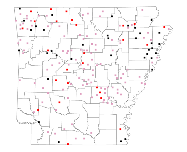
Total number of 2,500 hectare plots where this species is found: 177 ( 20.2% of plots )
| CATEGORY | Hectares, 1994 | % of Total, 1994 | Hectares, 1999 | % of Total, 1999 | Hectares, 2004 | % of Total, 2004 |
| Forest - Total (All Categories) | 194207.6 | 39.64 | 202413.5 | 45.75 | 203543.0 | 46.00 |
| Ozark-Ouachita Pine-Oak Forest | 56993.0 | 11.63 | 49117.1 | 11.10 | 47906.8 | 10.83 |
| Ozark-Ouachita Dry Oak Woodland and Forest | 11838.6 | 2.42 | 8832.1 | 2.00 | 8597.7 | 1.94 |
| Central Interior Highlands Glade and Barrens | 8106.7 | 1.65 | 6184.5 | 1.40 | 6173.5 | 1.40 |
| Mesic Hardwood Forest | 378.5 | 0.08 | 325.6 | 0.07 | 325.2 | 0.07 |
| Dry-Mesic Oak Forest | 52440.3 | 10.70 | 42150.6 | 9.53 | 41100.3 | 9.29 |
| West Gulf Coastal Plain Pine-Hardwood Forest | 19246.0 | 3.93 | 16574.5 | 3.75 | 16084.0 | 3.64 |
| West Gulf Coastal Plain Small Stream Forest | 618.1 | 0.13 | 264.1 | 0.06 | 228.2 | 0.05 |
| Lower Mississippi River Low Bottomland Forest | 11304.5 | 2.31 | 7968.3 | 1.80 | 8324.3 | 1.88 |
| Lower Mississippi River High Bottomland Forest | 30057.9 | 6.13 | 24203.8 | 5.47 | 23703.5 | 5.36 |
| Lower Mississippi River Bottomland Depression | 1083.5 | 0.22 | 840.3 | 0.19 | 869.8 | 0.20 |
| Lower Mississippi River Riparian Forest | 346.6 | 0.07 | 158.1 | 0.04 | 168.1 | 0.04 |
| Sweetgum | 1793.9 | 0.37 | 1327.5 | 0.30 | 1273.3 | 0.29 |
| Forest - Unknown Category | 0.0 | 0.00 | 44467.1 | 10.05 | 48788.4 | 11.03 |
| Cropland | 149705.5 | 30.55 | 112679.5 | 25.47 | 107175.3 | 24.22 |
| Pastureland | 112762.2 | 23.01 | 91631.6 | 20.71 | 83347.1 | 18.84 |
| Herbaceous | 1462.0 | 0.30 | 3353.6 | 0.76 | 3360.5 | 0.76 |
| Bare/Barren | 975.2 | 0.20 | 355.1 | 0.08 | 1032.9 | 0.23 |
| Urban | 6389.4 | 1.30 | 12257.8 | 2.77 | 25804.2 | 5.83 |
| Water | 17756.8 | 3.62 | 13831.2 | 3.13 | 12250.4 | 2.77 |
| Unknown (No Data) | 6714.5 | 1.37 | 5945.0 | 1.34 | 5954.0 | 1.35 |