Species Report
Northern Harrier
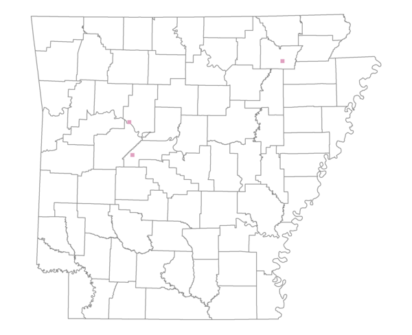
Total number of 2,500 hectare plots where this species is found: 3 ( 0.3% of plots )
| CATEGORY | Hectares, 1994 | % of Total, 1994 | Hectares, 1999 | % of Total, 1999 | Hectares, 2004 | % of Total, 2004 |
| Forest - Total (All Categories) | 3256.1 | 39.30 | 3483.6 | 46.42 | 3404.6 | 45.36 |
| Ozark-Ouachita Pine-Oak Forest | 2704.1 | 32.64 | 2406.4 | 32.06 | 2392.9 | 31.88 |
| Ozark-Ouachita Dry Oak Woodland and Forest | 0.0 | 0.00 | 0.0 | 0.00 | 0.0 | 0.00 |
| Central Interior Highlands Glade and Barrens | 0.0 | 0.00 | 0.0 | 0.00 | 0.0 | 0.00 |
| Mesic Hardwood Forest | 0.0 | 0.00 | 0.0 | 0.00 | 0.0 | 0.00 |
| Dry-Mesic Oak Forest | 114.4 | 1.38 | 94.0 | 1.25 | 87.5 | 1.17 |
| West Gulf Coastal Plain Pine-Hardwood Forest | 0.0 | 0.00 | 0.0 | 0.00 | 0.0 | 0.00 |
| West Gulf Coastal Plain Small Stream Forest | 0.0 | 0.00 | 0.0 | 0.00 | 0.0 | 0.00 |
| Lower Mississippi River Low Bottomland Forest | 116.8 | 1.41 | 54.3 | 0.72 | 44.6 | 0.59 |
| Lower Mississippi River High Bottomland Forest | 67.3 | 0.81 | 37.0 | 0.49 | 33.7 | 0.45 |
| Lower Mississippi River Bottomland Depression | 0.0 | 0.00 | 0.0 | 0.00 | 0.0 | 0.00 |
| Lower Mississippi River Riparian Forest | 0.0 | 0.00 | 0.0 | 0.00 | 0.0 | 0.00 |
| Sweetgum | 253.4 | 3.06 | 208.6 | 2.78 | 187.9 | 2.50 |
| Forest - Unknown Category | 0.0 | 0.00 | 683.3 | 9.10 | 658.1 | 8.77 |
| Cropland | 2671.0 | 32.24 | 2356.7 | 31.40 | 2275.0 | 30.31 |
| Pastureland | 645.6 | 7.79 | 100.9 | 1.34 | 60.6 | 0.81 |
| Herbaceous | 11.2 | 0.13 | 0.0 | 0.00 | 0.0 | 0.00 |
| Bare/Barren | 0.0 | 0.00 | 0.0 | 0.00 | 0.0 | 0.00 |
| Urban | 57.4 | 0.69 | 63.1 | 0.84 | 274.9 | 3.66 |
| Water | 1643.5 | 19.84 | 1501.0 | 20.00 | 1490.2 | 19.85 |
| Unknown (No Data) | 0.0 | 0.00 | 0.0 | 0.00 | 0.0 | 0.00 |