Species Report
Mississippi Kite
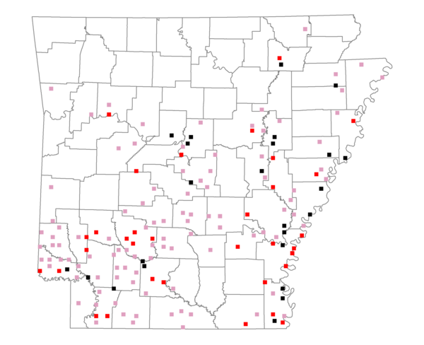
Total number of 2,500 hectare plots where this species is found: 158 ( 18.1% of plots )
| CATEGORY | Hectares, 1994 | % of Total, 1994 | Hectares, 1999 | % of Total, 1999 | Hectares, 2004 | % of Total, 2004 |
| Forest - Total (All Categories) | 233273.0 | 53.30 | 239251.8 | 60.55 | 240938.2 | 60.98 |
| Ozark-Ouachita Pine-Oak Forest | 30050.2 | 6.87 | 26160.1 | 6.62 | 25558.1 | 6.47 |
| Ozark-Ouachita Dry Oak Woodland and Forest | 88.8 | 0.02 | 47.3 | 0.01 | 47.6 | 0.01 |
| Central Interior Highlands Glade and Barrens | 433.6 | 0.10 | 366.6 | 0.09 | 359.0 | 0.09 |
| Mesic Hardwood Forest | 10.4 | 0.00 | 9.2 | 0.00 | 9.3 | 0.00 |
| Dry-Mesic Oak Forest | 25277.7 | 5.78 | 21189.1 | 5.36 | 20893.8 | 5.29 |
| West Gulf Coastal Plain Pine-Hardwood Forest | 68616.7 | 15.68 | 59340.6 | 15.02 | 57327.6 | 14.51 |
| West Gulf Coastal Plain Small Stream Forest | 431.6 | 0.10 | 295.4 | 0.07 | 317.0 | 0.08 |
| Lower Mississippi River Low Bottomland Forest | 24082.7 | 5.50 | 19407.5 | 4.91 | 19558.7 | 4.95 |
| Lower Mississippi River High Bottomland Forest | 79883.3 | 18.25 | 67914.6 | 17.19 | 66917.5 | 16.94 |
| Lower Mississippi River Bottomland Depression | 2561.4 | 0.59 | 2109.9 | 0.53 | 2110.0 | 0.53 |
| Lower Mississippi River Riparian Forest | 530.2 | 0.12 | 195.9 | 0.05 | 229.9 | 0.06 |
| Sweetgum | 1306.4 | 0.30 | 966.9 | 0.24 | 910.2 | 0.23 |
| Forest - Unknown Category | 0.0 | 0.00 | 41248.8 | 10.44 | 46699.6 | 11.82 |
| Cropland | 94641.9 | 21.63 | 63612.5 | 16.10 | 61577.0 | 15.58 |
| Pastureland | 69162.1 | 15.80 | 51066.4 | 12.92 | 45431.4 | 11.50 |
| Herbaceous | 735.7 | 0.17 | 6081.6 | 1.54 | 6413.9 | 1.62 |
| Bare/Barren | 741.9 | 0.17 | 680.4 | 0.17 | 778.5 | 0.20 |
| Urban | 2512.9 | 0.57 | 5859.3 | 1.48 | 12311.2 | 3.12 |
| Water | 23509.9 | 5.37 | 16930.0 | 4.28 | 16018.2 | 4.05 |
| Unknown (No Data) | 13059.6 | 2.98 | 11651.9 | 2.95 | 11665.4 | 2.95 |