Species Report
Mallard
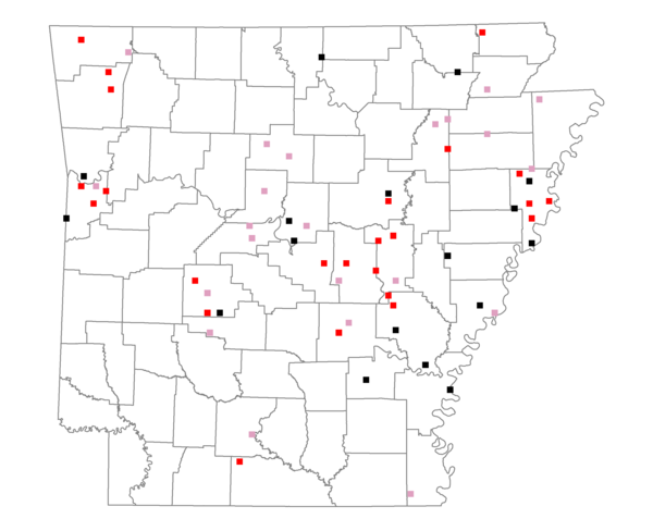
Total number of 2,500 hectare plots where this species is found: 63 ( 7.2% of plots )
| CATEGORY | Hectares, 1994 | % of Total, 1994 | Hectares, 1999 | % of Total, 1999 | Hectares, 2004 | % of Total, 2004 |
| Forest - Total (All Categories) | 49341.3 | 28.26 | 52372.0 | 33.24 | 54038.5 | 34.30 |
| Ozark-Ouachita Pine-Oak Forest | 14288.4 | 8.18 | 12271.6 | 7.79 | 11903.5 | 7.56 |
| Ozark-Ouachita Dry Oak Woodland and Forest | 1183.0 | 0.68 | 971.9 | 0.62 | 981.2 | 0.62 |
| Central Interior Highlands Glade and Barrens | 881.1 | 0.50 | 714.6 | 0.45 | 713.3 | 0.45 |
| Mesic Hardwood Forest | 166.3 | 0.10 | 146.5 | 0.09 | 145.6 | 0.09 |
| Dry-Mesic Oak Forest | 10058.8 | 5.76 | 7517.2 | 4.77 | 7190.6 | 4.56 |
| West Gulf Coastal Plain Pine-Hardwood Forest | 2293.6 | 1.31 | 1988.6 | 1.26 | 1966.5 | 1.25 |
| West Gulf Coastal Plain Small Stream Forest | 108.0 | 0.06 | 87.1 | 0.06 | 87.8 | 0.06 |
| Lower Mississippi River Low Bottomland Forest | 5030.4 | 2.88 | 3301.9 | 2.10 | 3469.1 | 2.20 |
| Lower Mississippi River High Bottomland Forest | 13451.1 | 7.70 | 10744.2 | 6.82 | 10504.7 | 6.67 |
| Lower Mississippi River Bottomland Depression | 351.1 | 0.20 | 310.9 | 0.20 | 310.3 | 0.20 |
| Lower Mississippi River Riparian Forest | 140.7 | 0.08 | 81.4 | 0.05 | 88.0 | 0.06 |
| Sweetgum | 1388.9 | 0.80 | 1041.4 | 0.66 | 978.7 | 0.62 |
| Forest - Unknown Category | 0.0 | 0.00 | 13194.7 | 8.37 | 15699.0 | 9.96 |
| Cropland | 82467.2 | 47.23 | 62367.2 | 39.58 | 59820.0 | 37.97 |
| Pastureland | 25413.4 | 14.55 | 24083.9 | 15.29 | 20714.6 | 13.15 |
| Herbaceous | 474.6 | 0.27 | 1573.9 | 1.00 | 2088.6 | 1.33 |
| Bare/Barren | 294.3 | 0.17 | 43.0 | 0.03 | 152.9 | 0.10 |
| Urban | 1592.9 | 0.91 | 4466.4 | 2.83 | 9498.0 | 6.03 |
| Water | 12399.4 | 7.10 | 10268.1 | 6.52 | 8859.5 | 5.62 |
| Unknown (No Data) | 2640.4 | 1.51 | 2378.8 | 1.51 | 2381.2 | 1.51 |