Species Report
Least Bittern
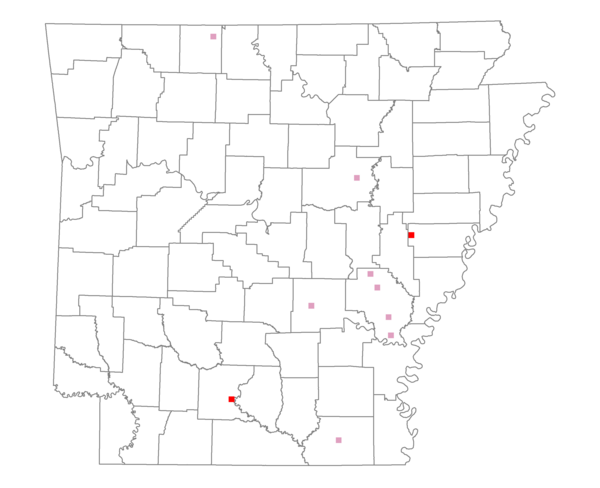
Total number of 2,500 hectare plots where this species is found: 10 ( 1.1% of plots )
| CATEGORY | Hectares, 1994 | % of Total, 1994 | Hectares, 1999 | % of Total, 1999 | Hectares, 2004 | % of Total, 2004 |
| Forest - Total (All Categories) | 12767.5 | 46.08 | 11799.5 | 47.16 | 12356.4 | 49.39 |
| Ozark-Ouachita Pine-Oak Forest | 133.2 | 0.48 | 37.7 | 0.15 | 43.4 | 0.17 |
| Ozark-Ouachita Dry Oak Woodland and Forest | 0.0 | 0.00 | 0.0 | 0.00 | 0.0 | 0.00 |
| Central Interior Highlands Glade and Barrens | 1580.5 | 5.70 | 1016.4 | 4.06 | 1048.9 | 4.19 |
| Mesic Hardwood Forest | 0.0 | 0.00 | 0.0 | 0.00 | 0.0 | 0.00 |
| Dry-Mesic Oak Forest | 1067.2 | 3.85 | 849.0 | 3.39 | 847.7 | 3.39 |
| West Gulf Coastal Plain Pine-Hardwood Forest | 2506.7 | 9.05 | 2137.9 | 8.55 | 1956.1 | 7.82 |
| West Gulf Coastal Plain Small Stream Forest | 0.2 | 0.00 | 0.2 | 0.00 | 0.2 | 0.00 |
| Lower Mississippi River Low Bottomland Forest | 3157.7 | 11.40 | 2458.8 | 9.83 | 2508.5 | 10.03 |
| Lower Mississippi River High Bottomland Forest | 3974.6 | 14.35 | 3269.7 | 13.07 | 3251.9 | 13.00 |
| Lower Mississippi River Bottomland Depression | 326.6 | 1.18 | 293.7 | 1.17 | 292.1 | 1.17 |
| Lower Mississippi River Riparian Forest | 2.7 | 0.01 | 0.0 | 0.00 | 0.8 | 0.00 |
| Sweetgum | 18.1 | 0.07 | 10.2 | 0.04 | 10.3 | 0.04 |
| Forest - Unknown Category | 0.0 | 0.00 | 1725.8 | 6.90 | 2396.4 | 9.58 |
| Cropland | 11657.8 | 42.08 | 9008.5 | 36.01 | 8447.6 | 33.77 |
| Pastureland | 1570.6 | 5.67 | 1966.9 | 7.86 | 1970.1 | 7.87 |
| Herbaceous | 123.6 | 0.45 | 238.2 | 0.95 | 251.7 | 1.01 |
| Bare/Barren | 0.3 | 0.00 | 18.0 | 0.07 | 29.3 | 0.12 |
| Urban | 210.9 | 0.76 | 774.4 | 3.10 | 1099.0 | 4.39 |
| Water | 1374.1 | 4.96 | 1212.1 | 4.85 | 863.4 | 3.45 |
| Unknown (No Data) | 0.0 | 0.00 | 0.0 | 0.00 | 0.0 | 0.00 |