Species Report
Blue Jay
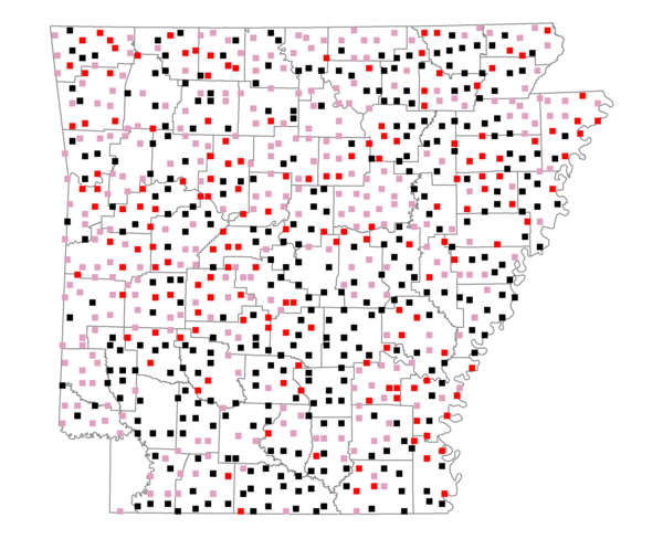
Total number of 2,500 hectare plots where this species is found: 793 ( 90.6% of plots )
| CATEGORY | Hectares, 1994 | % of Total, 1994 | Hectares, 1999 | % of Total, 1999 | Hectares, 2004 | % of Total, 2004 |
| Forest - Total (All Categories) | 1175552.1 | 53.51 | 1183149.6 | 59.67 | 1171093.2 | 59.06 |
| Ozark-Ouachita Pine-Oak Forest | 347784.4 | 15.83 | 305198.2 | 15.39 | 300026.3 | 15.13 |
| Ozark-Ouachita Dry Oak Woodland and Forest | 52931.2 | 2.41 | 40304.9 | 2.03 | 39656.7 | 2.00 |
| Central Interior Highlands Glade and Barrens | 45861.5 | 2.09 | 37037.2 | 1.87 | 36667.6 | 1.85 |
| Mesic Hardwood Forest | 2373.6 | 0.11 | 2077.7 | 0.10 | 2068.6 | 0.10 |
| Dry-Mesic Oak Forest | 277279.4 | 12.62 | 228194.3 | 11.51 | 222911.0 | 11.24 |
| West Gulf Coastal Plain Pine-Hardwood Forest | 207211.7 | 9.43 | 179883.2 | 9.07 | 168263.8 | 8.49 |
| West Gulf Coastal Plain Small Stream Forest | 1503.7 | 0.07 | 818.2 | 0.04 | 812.0 | 0.04 |
| Lower Mississippi River Low Bottomland Forest | 53500.5 | 2.44 | 40354.5 | 2.04 | 40301.7 | 2.03 |
| Lower Mississippi River High Bottomland Forest | 170846.0 | 7.78 | 142803.8 | 7.20 | 140268.8 | 7.07 |
| Lower Mississippi River Bottomland Depression | 7058.1 | 0.32 | 5761.1 | 0.29 | 5567.7 | 0.28 |
| Lower Mississippi River Riparian Forest | 1876.1 | 0.09 | 603.2 | 0.03 | 700.8 | 0.04 |
| Sweetgum | 7325.8 | 0.33 | 5997.3 | 0.30 | 5802.1 | 0.29 |
| Forest - Unknown Category | 0.0 | 0.00 | 194116.1 | 9.79 | 208046.0 | 10.49 |
| Cropland | 491303.9 | 22.36 | 377245.5 | 19.02 | 369951.5 | 18.66 |
| Pastureland | 421962.6 | 19.21 | 310699.3 | 15.67 | 294980.1 | 14.88 |
| Herbaceous | 4174.1 | 0.19 | 18000.1 | 0.91 | 27924.9 | 1.41 |
| Bare/Barren | 2095.2 | 0.10 | 889.0 | 0.04 | 1818.6 | 0.09 |
| Urban | 9292.3 | 0.42 | 16863.7 | 0.85 | 45111.2 | 2.27 |
| Water | 62623.2 | 2.85 | 49502.8 | 2.50 | 45405.6 | 2.29 |
| Unknown (No Data) | 29920.3 | 1.36 | 26625.6 | 1.34 | 26690.5 | 1.35 |