Species Report
Blue-gray Gnatcatcher
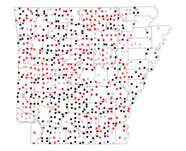
Total number of 2,500 hectare plots where this species is found: 685 ( 78.3% of plots )
| CATEGORY | Hectares, 1994 | % of Total, 1994 | Hectares, 1999 | % of Total, 1999 | Hectares, 2004 | % of Total, 2004 |
| Forest - Total (All Categories) | 1136735.1 | 59.89 | 1153897.1 | 67.36 | 1138206.1 | 66.45 |
| Ozark-Ouachita Pine-Oak Forest | 344836.1 | 18.17 | 304174.0 | 17.76 | 299100.8 | 17.46 |
| Ozark-Ouachita Dry Oak Woodland and Forest | 52058.0 | 2.74 | 40223.9 | 2.35 | 39537.7 | 2.31 |
| Central Interior Highlands Glade and Barrens | 46309.9 | 2.44 | 37490.0 | 2.19 | 37107.0 | 2.17 |
| Mesic Hardwood Forest | 2250.6 | 0.12 | 1971.5 | 0.12 | 1960.3 | 0.11 |
| Dry-Mesic Oak Forest | 257732.9 | 13.58 | 216891.2 | 12.66 | 212577.0 | 12.41 |
| West Gulf Coastal Plain Pine-Hardwood Forest | 206075.5 | 10.86 | 178768.2 | 10.44 | 167120.1 | 9.76 |
| West Gulf Coastal Plain Small Stream Forest | 931.8 | 0.05 | 617.6 | 0.04 | 648.1 | 0.04 |
| Lower Mississippi River Low Bottomland Forest | 48063.8 | 2.53 | 38103.8 | 2.22 | 37709.0 | 2.20 |
| Lower Mississippi River High Bottomland Forest | 162448.2 | 8.56 | 137398.4 | 8.02 | 134816.4 | 7.87 |
| Lower Mississippi River Bottomland Depression | 8018.5 | 0.42 | 6678.6 | 0.39 | 6453.1 | 0.38 |
| Lower Mississippi River Riparian Forest | 1430.5 | 0.08 | 531.6 | 0.03 | 588.5 | 0.03 |
| Sweetgum | 6579.4 | 0.35 | 5432.7 | 0.32 | 5243.6 | 0.31 |
| Forest - Unknown Category | 0.0 | 0.00 | 185615.7 | 10.84 | 195344.6 | 11.40 |
| Cropland | 264452.7 | 13.93 | 182502.4 | 10.65 | 179040.6 | 10.45 |
| Pastureland | 404992.4 | 21.34 | 281854.7 | 16.45 | 268644.3 | 15.68 |
| Herbaceous | 2128.6 | 0.11 | 15909.1 | 0.93 | 25344.2 | 1.48 |
| Bare/Barren | 1370.2 | 0.07 | 925.6 | 0.05 | 1551.7 | 0.09 |
| Urban | 7734.5 | 0.41 | 12637.8 | 0.74 | 37141.7 | 2.17 |
| Water | 54457.2 | 2.87 | 41992.6 | 2.45 | 39721.3 | 2.32 |
| Unknown (No Data) | 26034.8 | 1.37 | 23252.7 | 1.36 | 23322.2 | 1.36 |